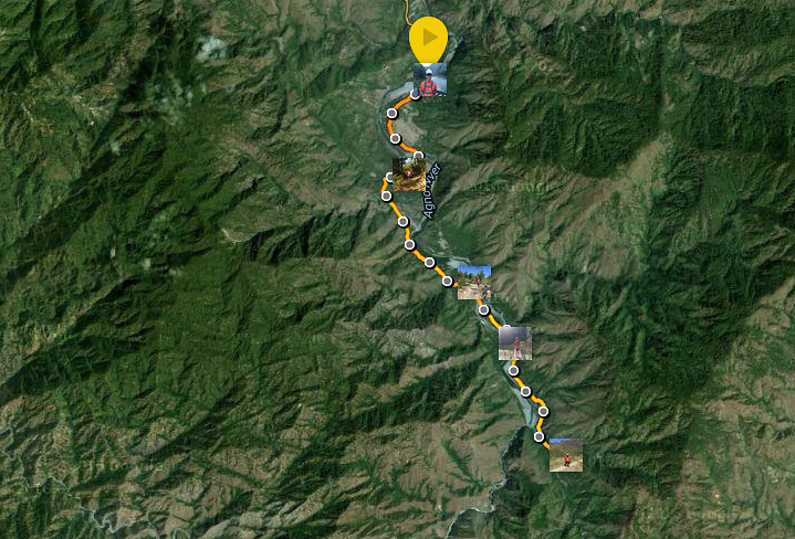
Mount Maculot Summit
Mount Maculot is a feel good climb. It has the lush green forest reserve and magnificent view of Taal lake from the Rockies and the summit. It gets extra exciting when you do the traverse as you go on a faster and more technical descent that includes rappelling through steep ravines.
Read About:
- Climbing the 12 Peaks of Mt. Batulao
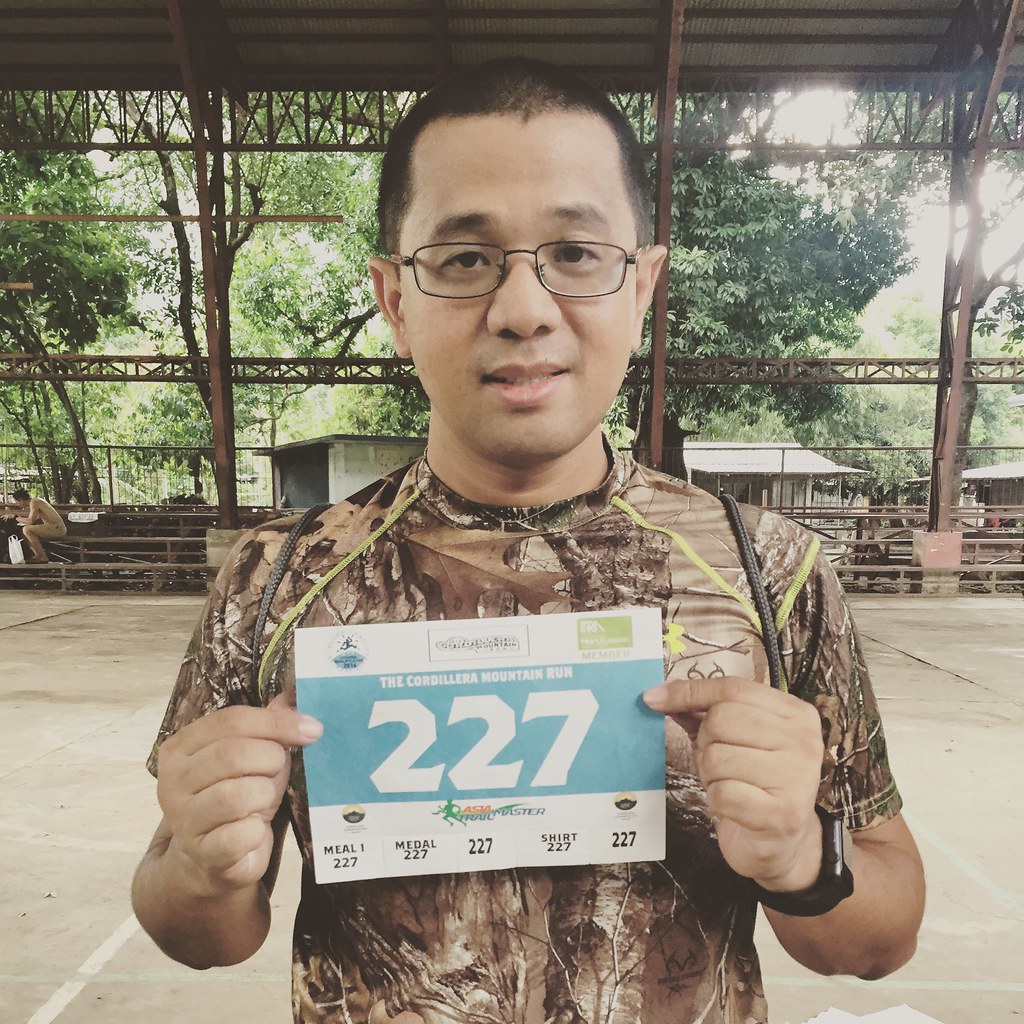
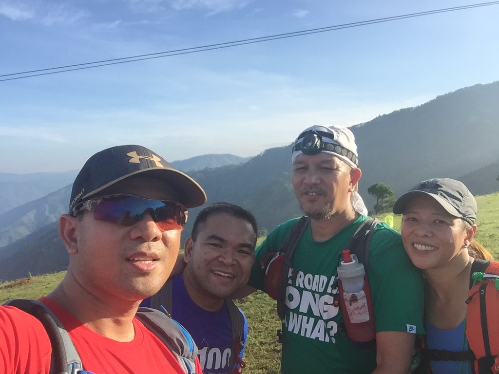
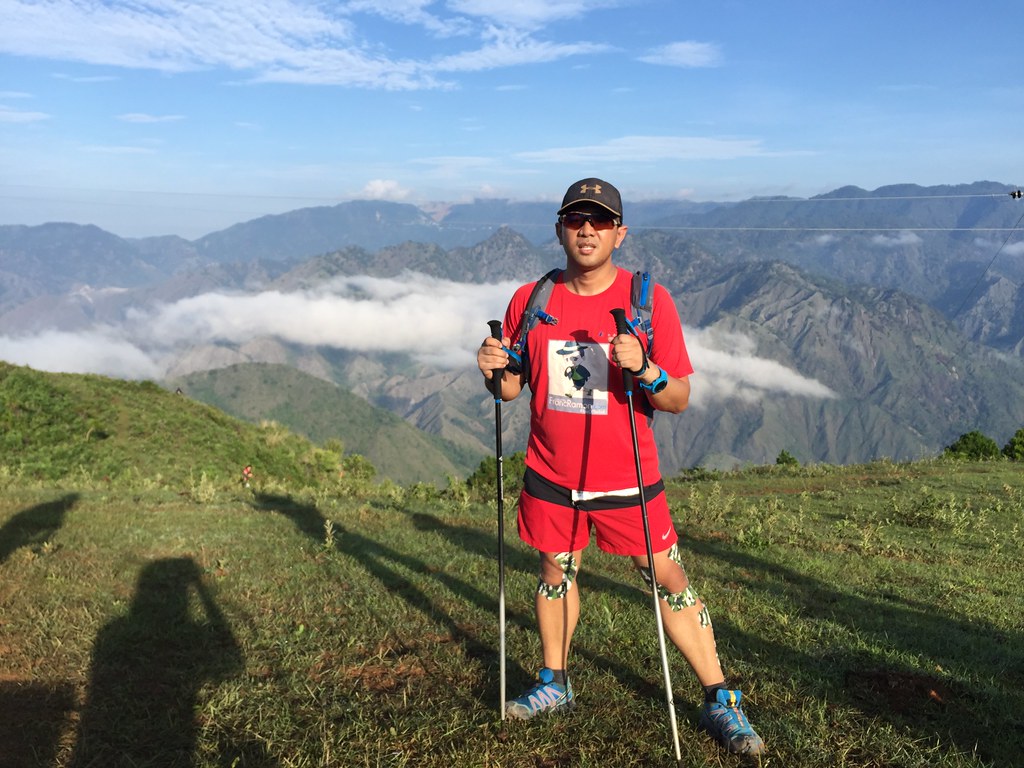
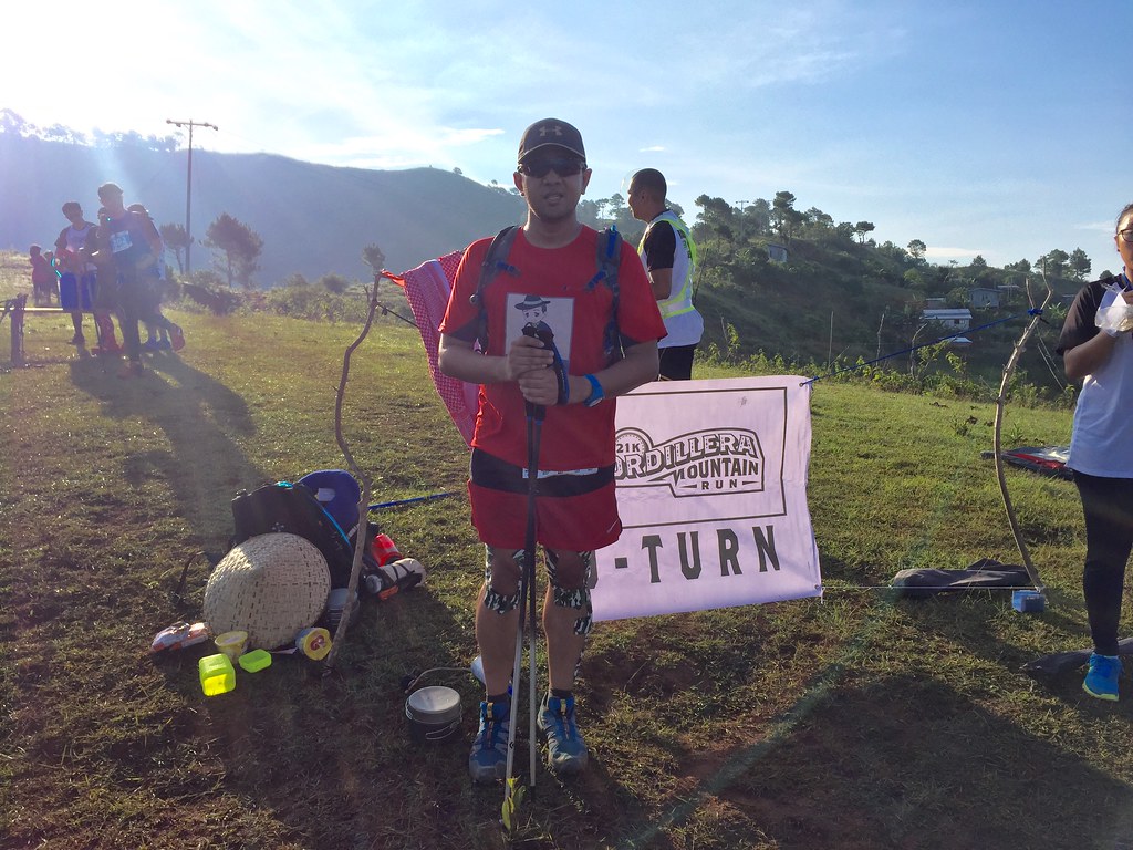
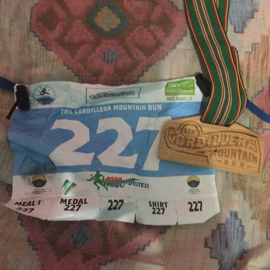
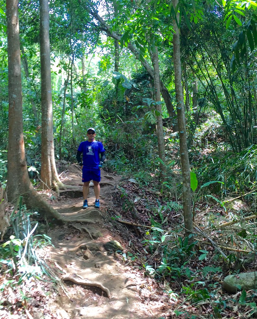
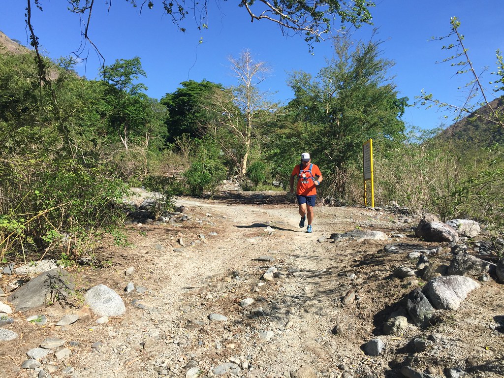
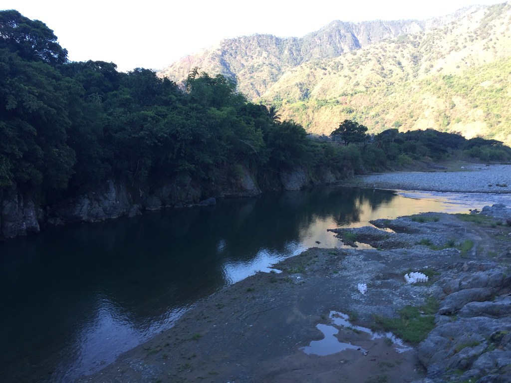
- Cordillera Mountain Run
- #TaleOfTheTrail Dragons Back (Hong Kong)
- #TaleOfTheTrail Camp John Hay Trails (Baguio City)
- #TaleOfTheTrail Mount Talamitam (Nasugbu, Batangas)
- #TaleOfTheTrail Mount Cabuyao (Tuba, Benguet)
- #TaleOfTheTrail Maysawa Trail (Tanay, Rizal)
- #TaleOfTheTrail Mount Kinabalu (Kota Kinabalu, Sabah, Malaysia)
- #TaleOfTheTail Mount Marami (Maragondon, Cavite)
- #TaleOfTheTrail Lantau Peak (Lantau Island, Hong Kong)
- #TaleOfTheTrail Lion Rock (New Territories, Hong Kong)
- #TaleOfTheTrail Ampucao – Sta Fe Trails (Ampucao, Itogon, Benguet)
- #TaleOfThe Trail Casile/ Bajo River / PG / Pintong Bukawe (San Mateo, Rizal)
- #TaleOfTheTrail Mount Makiling (Los Banos, Laguna)
- #TaleOfTheTrail Sierra Madre Trails (Tanay, Rizal)
- #TaleOfTheTrail Mount Kalugong and Mount Yangbo (La Trinidad, Benguet)
- #TaleOfTheTrail Ambuklao Dam (Ambuklao, Bokod, Benguet)
- #TaleOfTheTrail Camp Sinai, Pintong Bukawe, Casile, Inigan (San Mateo, Rizal)
- #TaleOfTheTrail Wawa Inigan Casile (San Mateo, Rizal)
- #TailOfTheTrail Dalupirip – Bantik (Itogon, Benguet)
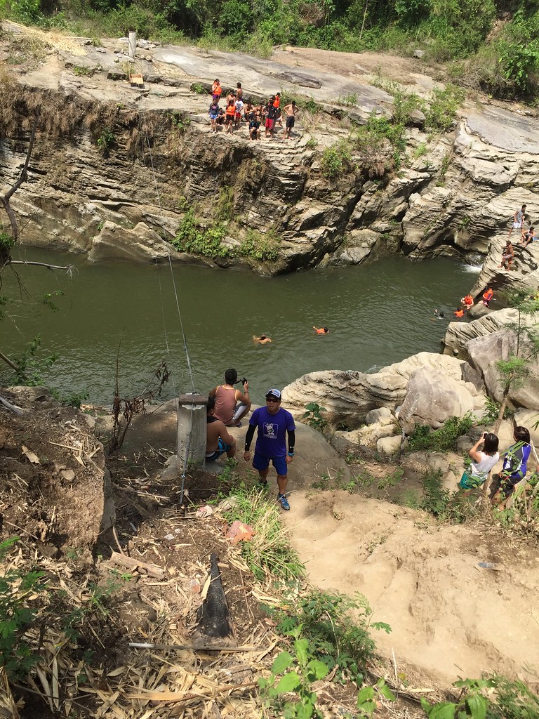
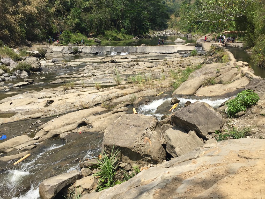
- #TaleOfTheTrail Tangadan Falls (San Gabriel, La Union)
#TaleOfTheTrail

This is why I Love the trails!
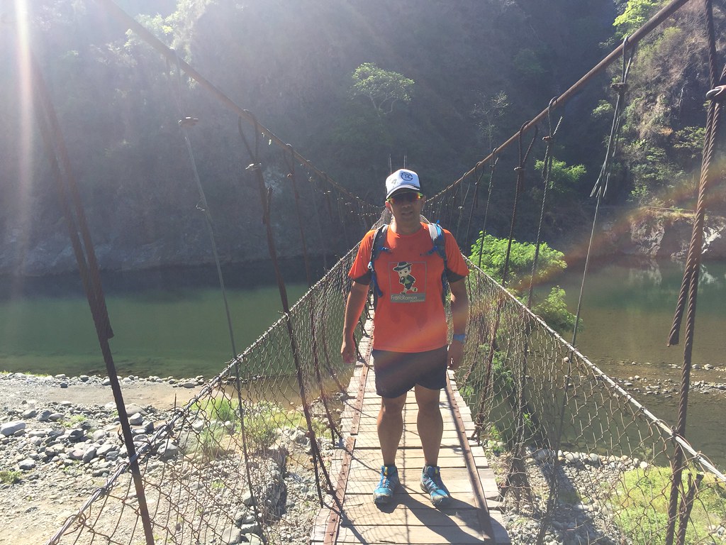
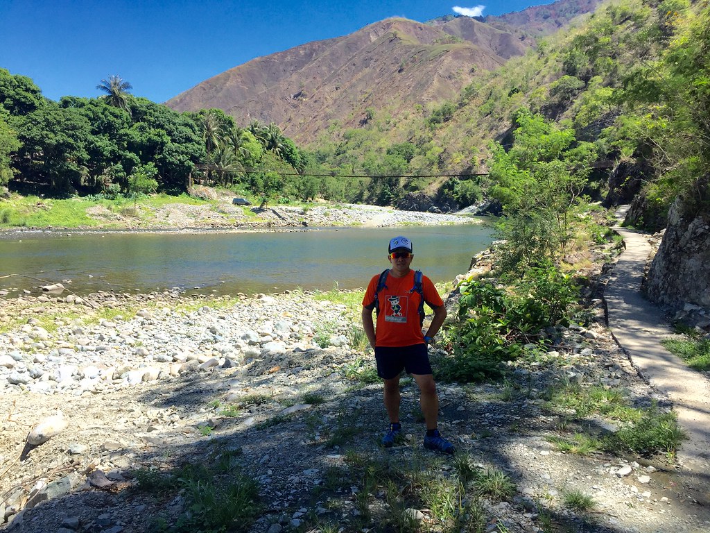
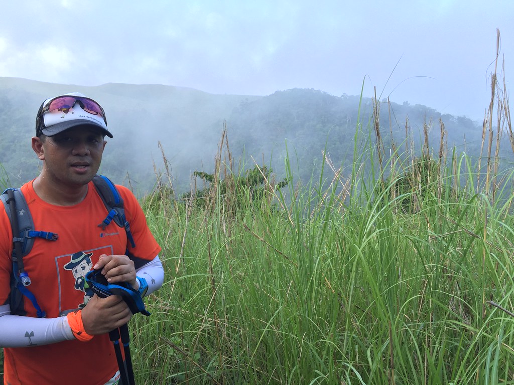
My friend Inja’s new tour company, Wanderbee Travel and Tours organized this trip and I immediately signed up for it. It would be fun to go on a feel-good climb, which is a far cry from the competitive races and mountain runs lately. Mount Maculot is still a challenging one because it’s more of a direct assault kind of a climb. It’s still a climb worth 65o meters of elevation heading to the summit at around 930 MASL. It’s my first time to climb this one and I tried researching the elevation profile but I mostly got the height of Mount Maculot. So we’ll have to rely on the guard for proper pacing. Also, since I have a minor sprain in my left ankle, I’m gonna take it easy and just enjoy the hike. As an added precaution, I wrapped my ankle with muscle tape as added support.
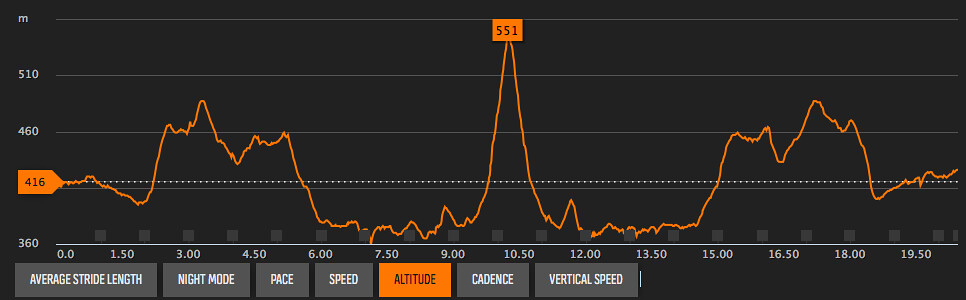
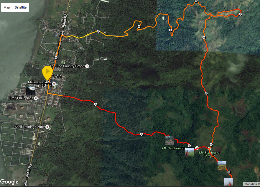
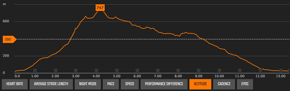
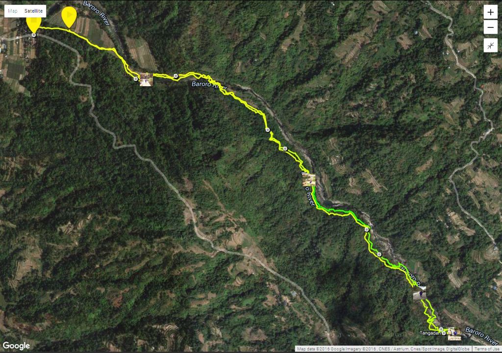
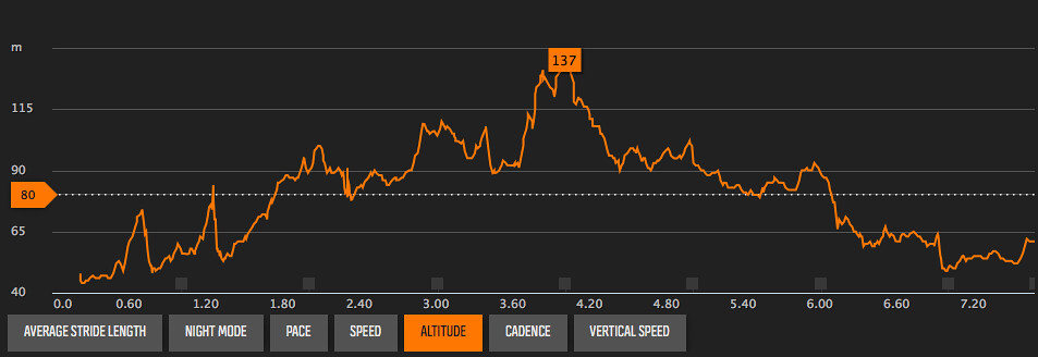
The Route and Elevation

Powered by Suunto Ambit 3 Sports

It starts with a moderate climb for the first kilometer before shifting to a steep climb on the second on the way to the rockies with about 400 meters worth of elevation. There’s a short climb and descent at the rockies. It goes on a moderate climb for the next kilometer before shifting to another steep climb worth 250 meters of elevation for the last 500 meters to the summit. The trail goes on a technical descent for the next 1.5 kilometers in the traverse stretch heading to the grotto and the exit covering about 650 meters of elevation.
Trekking Mount Maculot

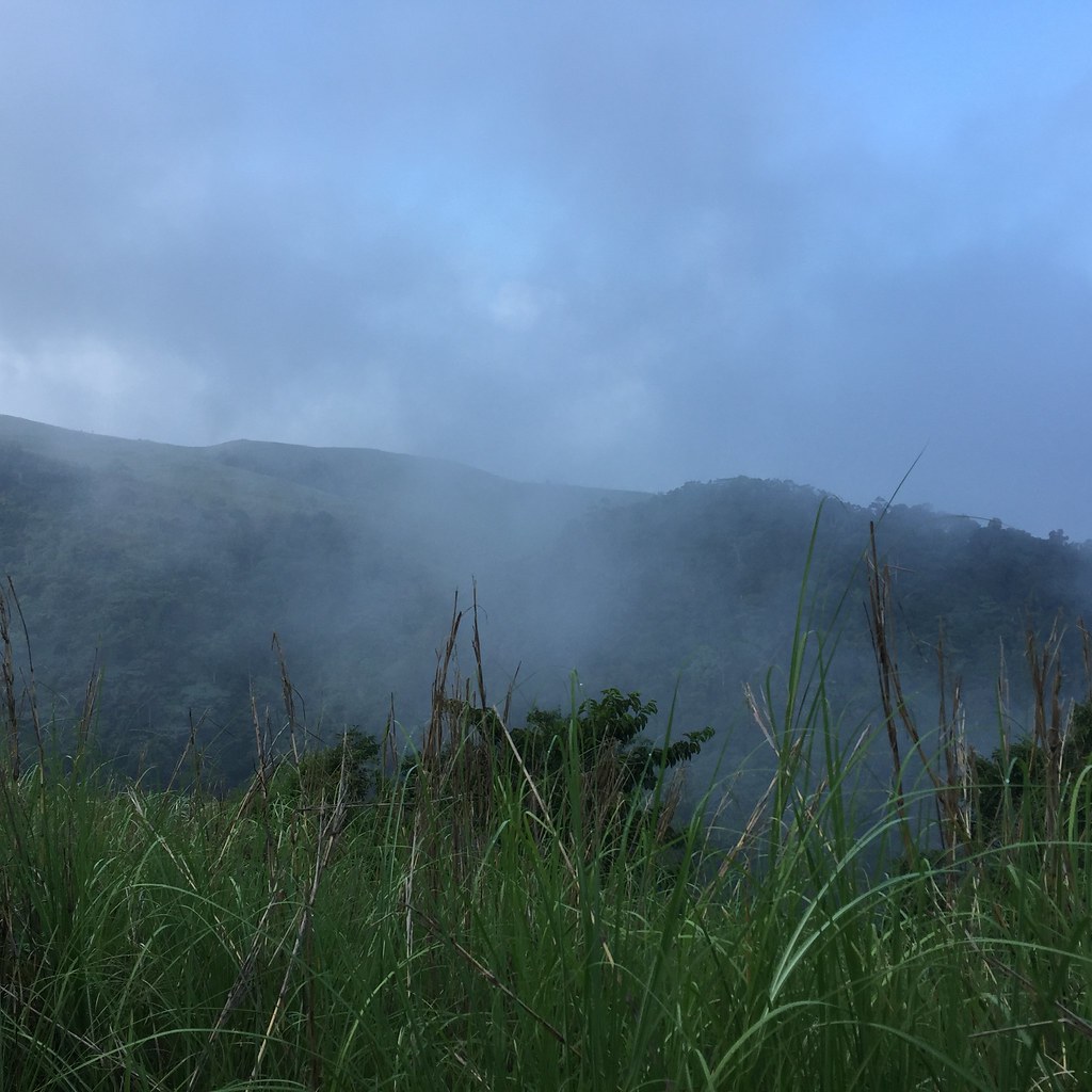
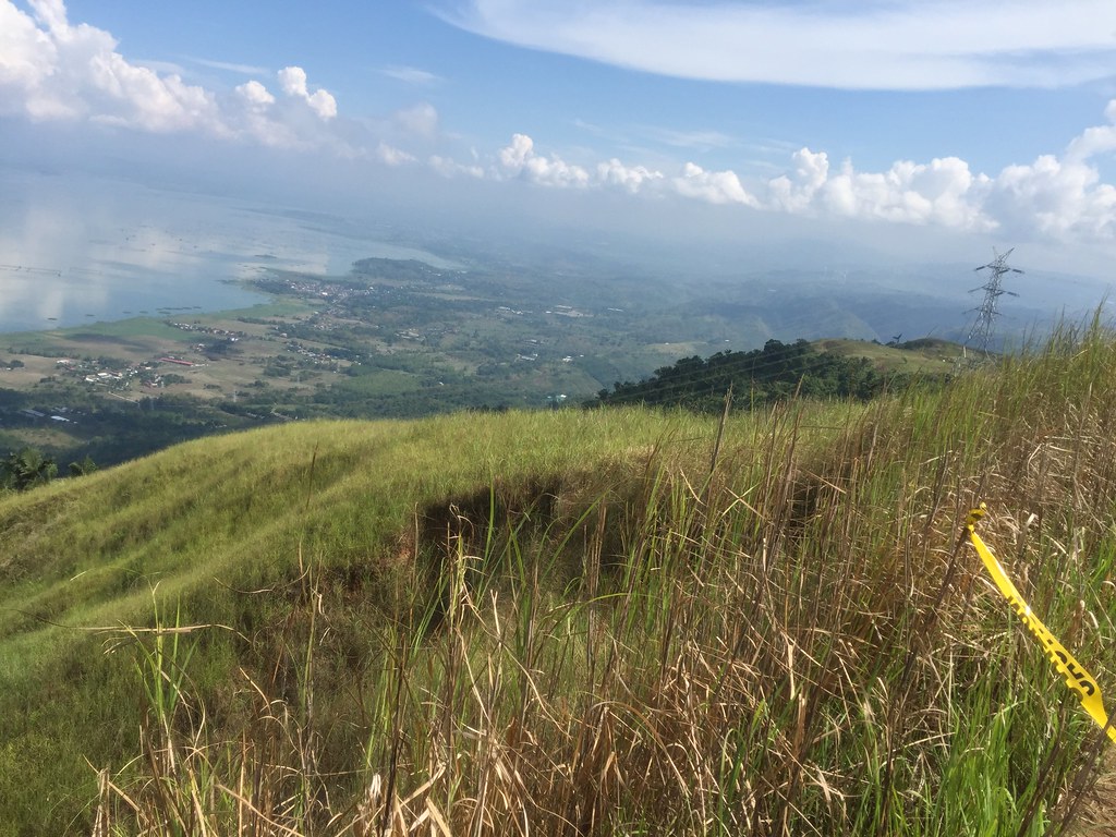
The Rockies gave you a view of the lush green Forest reserve and Taal Volcano.
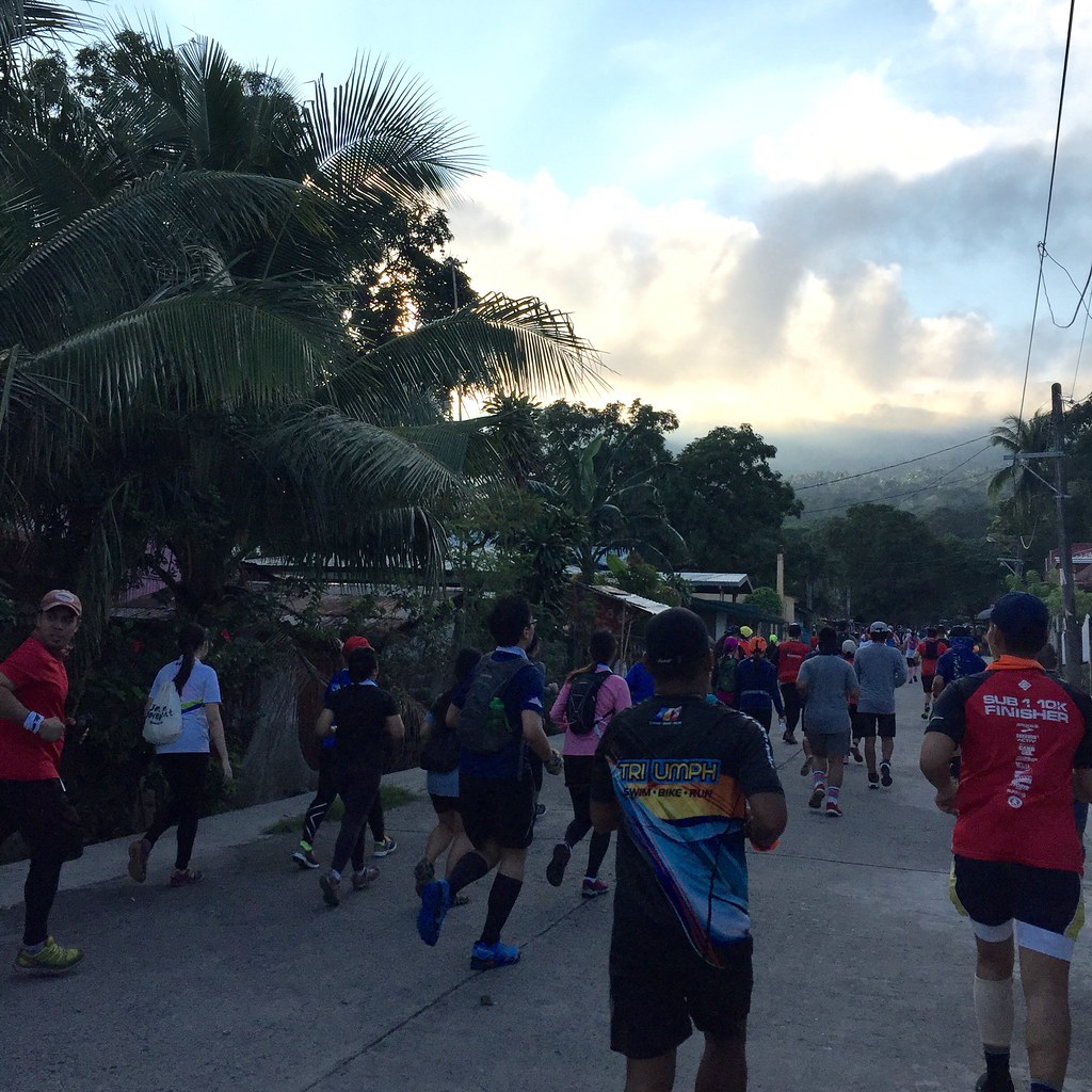
It was an early start for all of us as we left Manila at around 4 am just to be at the starting point of the climb at around 6:00 am. The guide described the climb as a direct assault so I had no idea how long the climb would be as I normally would assess the climb based on the mileage in my watch. I just took two pointers the Rockies is at 700 meters and that the summit is around 950 meters. Anyway, it’s a beginner friendly climb so it won’t be too exhausting.

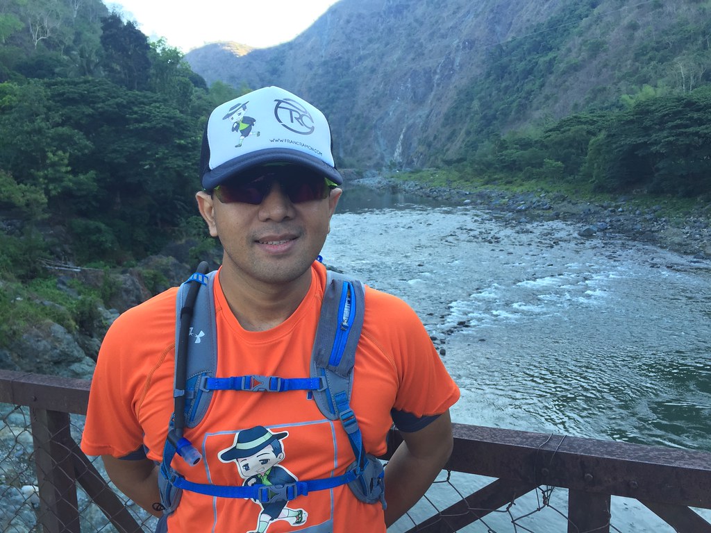
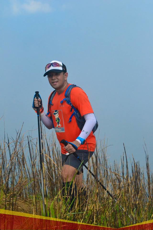
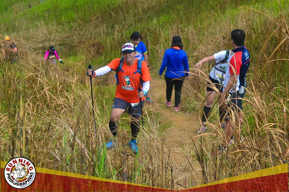
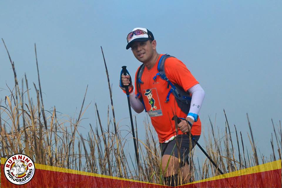
I’m starting to go minimal with my outfits doing away with the compression. I did bring my pole though since this would be a long climb.
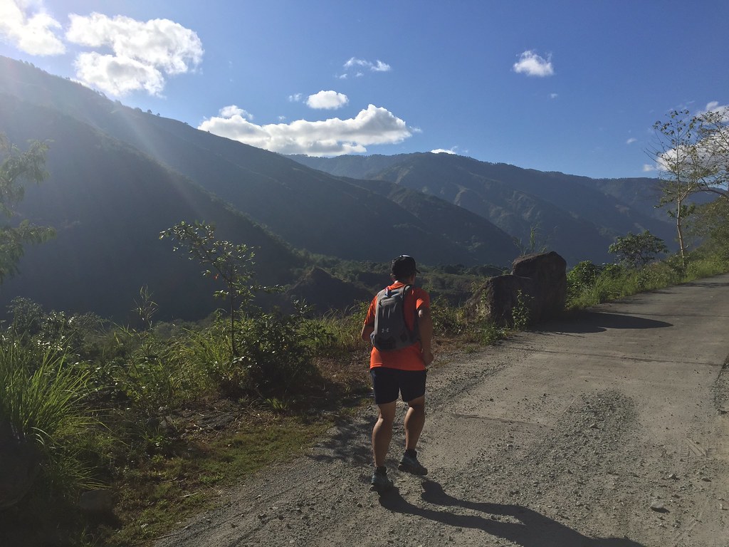
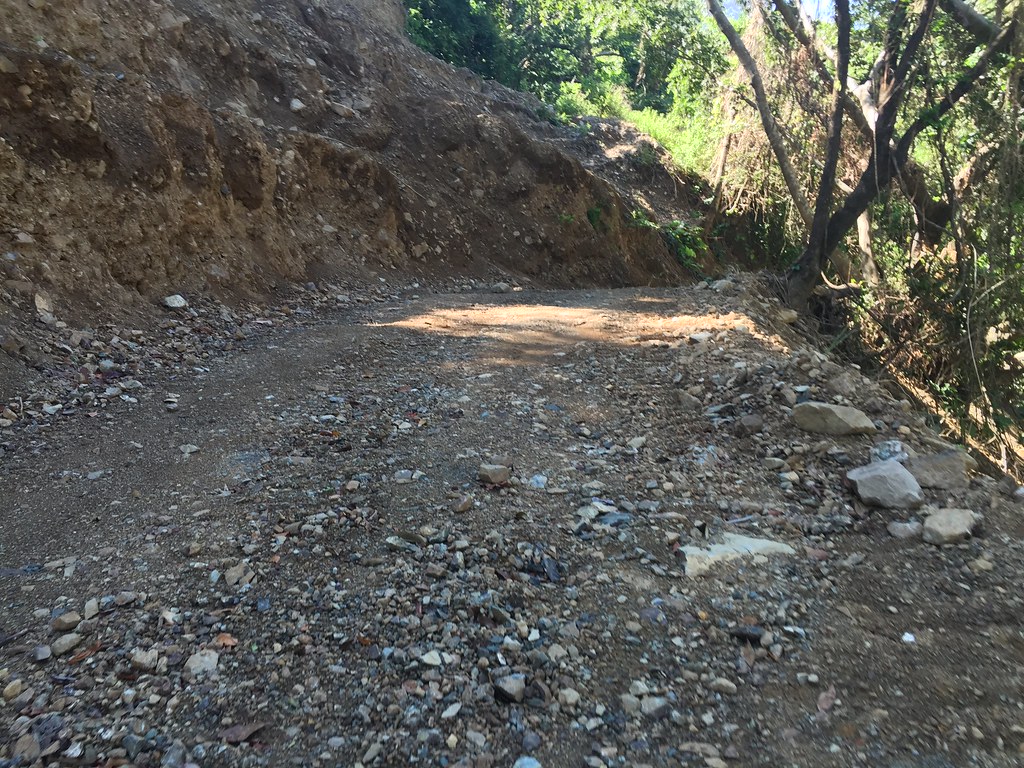
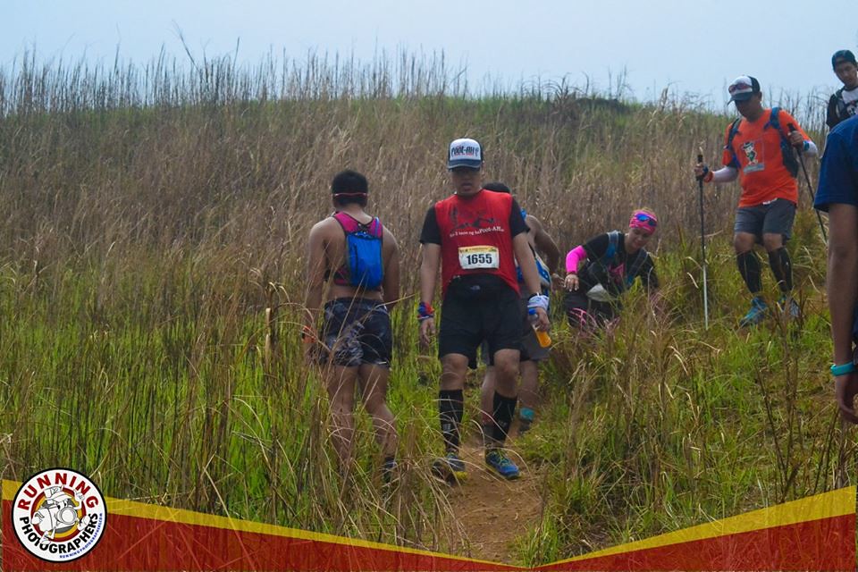
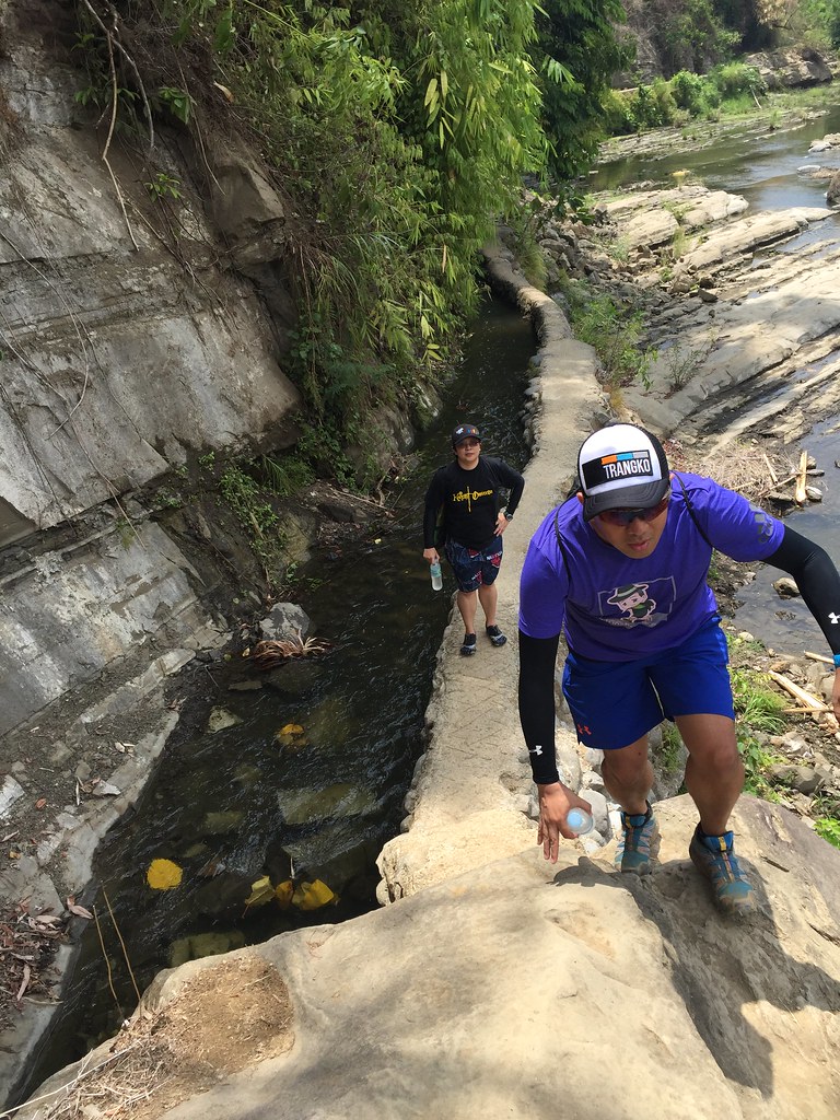
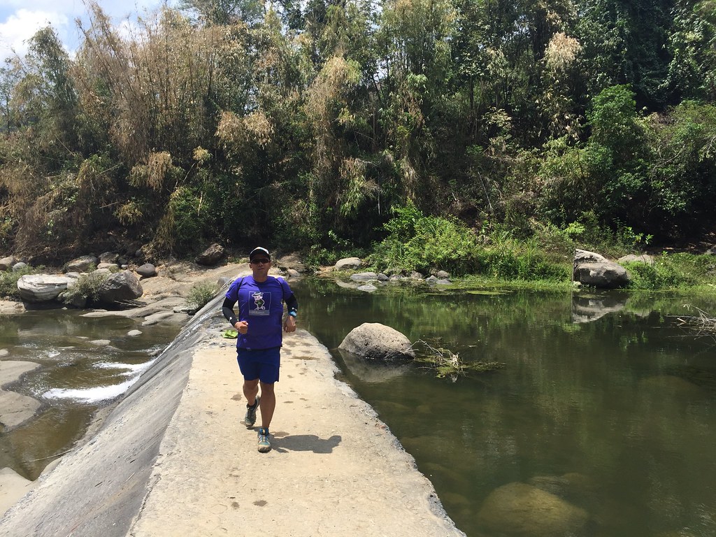
We had two guides for the trek with one in the lead pack and the other one on the tail end. I joined the lead pack since in treks like this, it’s the last ones who gets the shortest rest on recovery breaks. The first 800 meters was a moderate ascent on paved grounds so it was a chill walking pace at this point. We had to wait for the rest before entering the trail area.

One of our recovery stops with the whole pack complete.
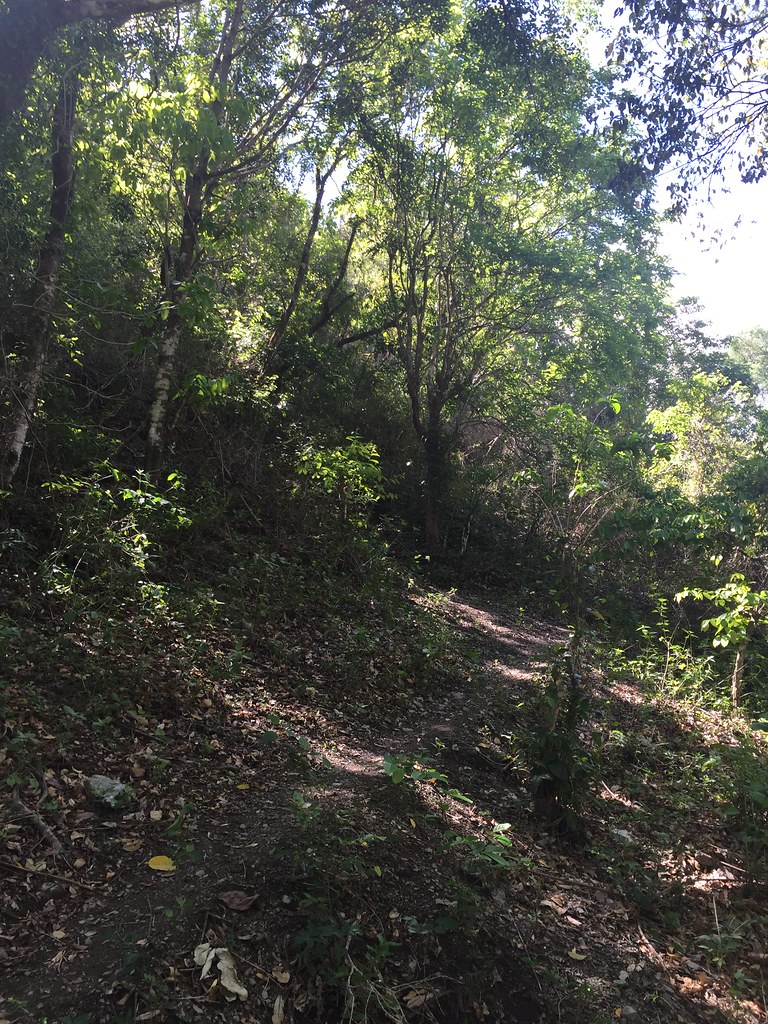
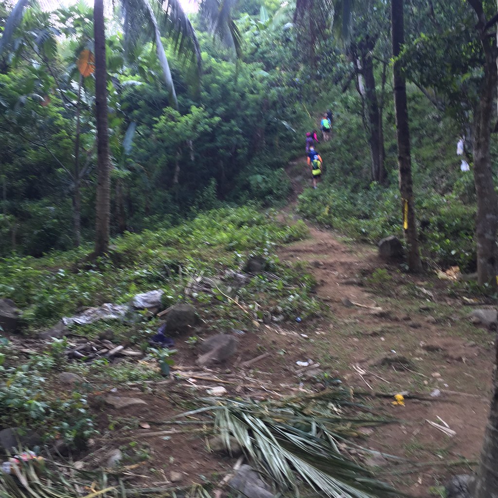
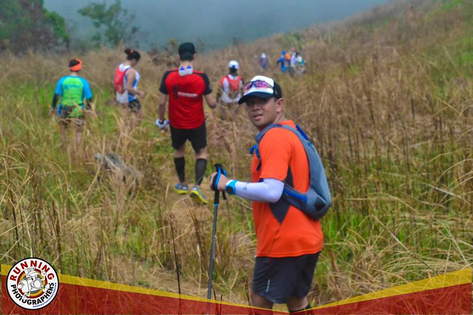
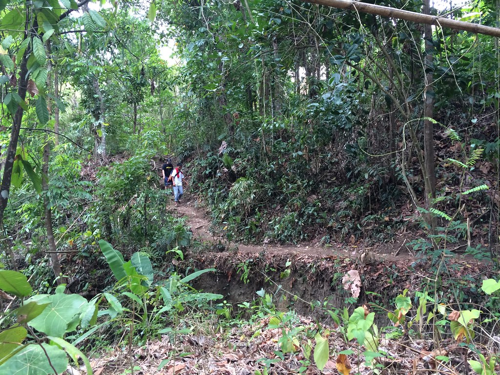
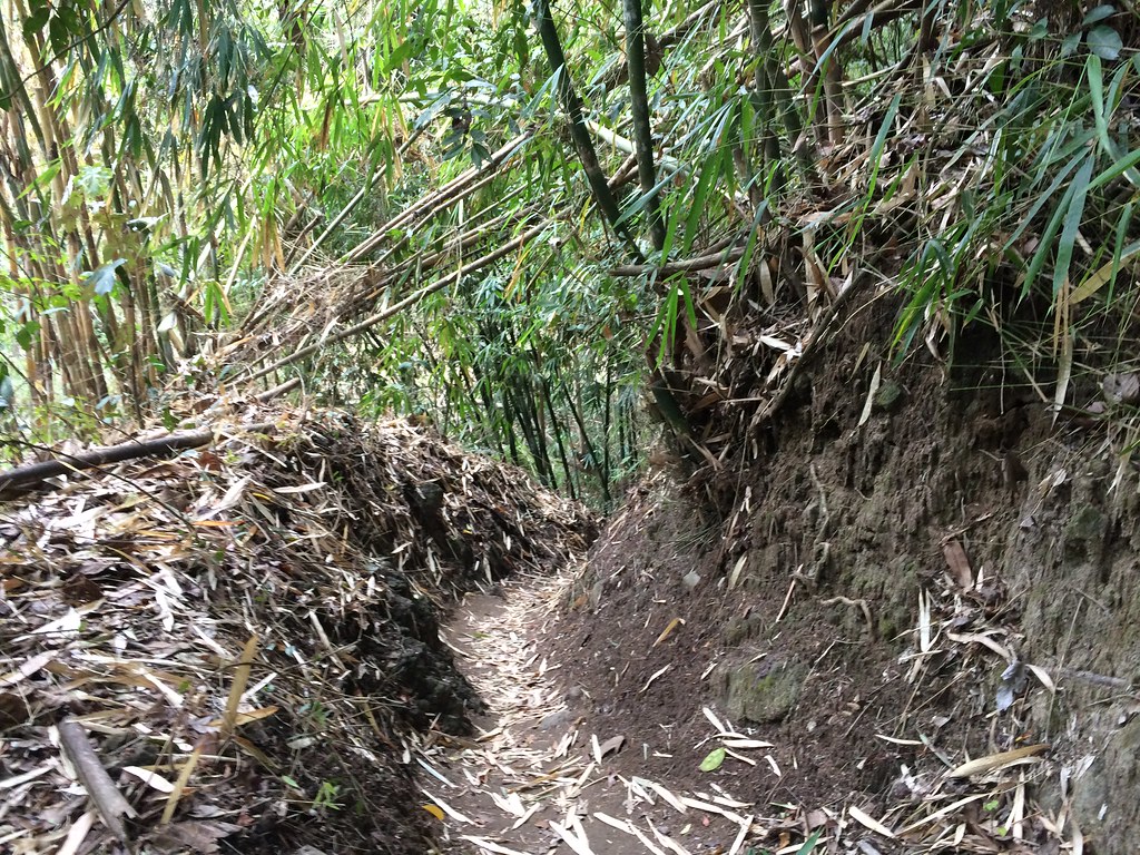
Once it hits the trail area, it immediately goes on a climb. It’s a bit technical with steep single tracks with large stones, tree trunks, twigs and bushes adding to the obstacles. The good part is that there are rest areas after each 50 or 100 meters of the climb. You can just exert your energy on the climbs as you’ll be able to rest on the stops while waiting for the rest. It’s really a nice trail for beginners as they get to climb and have enough rest at the same time.

The view gets better as you go higher.
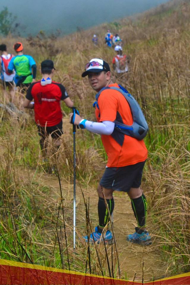
So that’s the drill, climb a steep trail and rest at the stops. Despite the rest stops, the climb is not easy as you’ll have to be reactive on the varying terrain and some can really be slippery too. It really helped that I’m using my trekking pole as it did help cushion the steps for my sprained ankle and also also allowed my upper body to help on the climb. One of the reasons, I prefer to use poles is that it lessens fatigue on the legs with the upper body support.

I’m starting to get the hang using trekking poles on the climbs.
About a kilometer into the climb, the guide would tell us that we were about halfway through the climb. I checked on the altitude on watch and we were about 450 meters above sea level. That means that there we were about 250 meters more to the Rockies. I figured it would be better to monitor the altitude instead of the distance just to know how far to go yet.

Rappel Part of the Climb
Since the climb was steep, we didn’t need to cover a lot of distance to move up. There were areas wherein we had to rappel too because of the steepness. Every 100 meter stretch would cover around 20-30 meters of elevation. It was lung busting but since its cut into segments it becomes more manageable.

That’s Taal Lake.
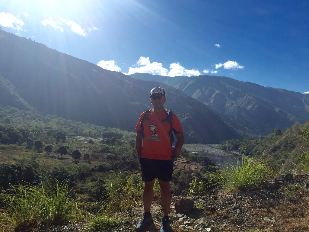
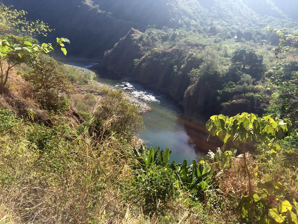
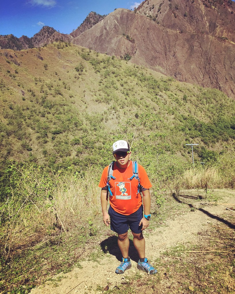
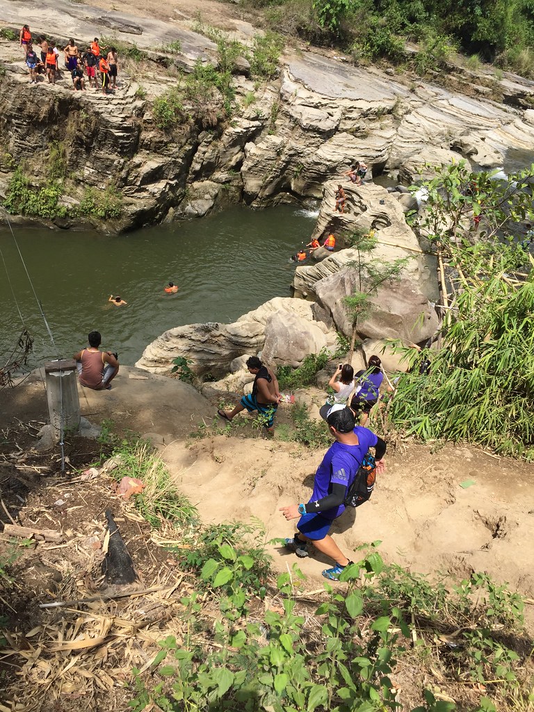
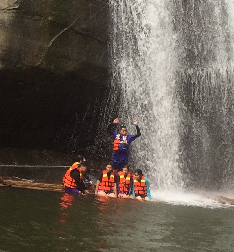
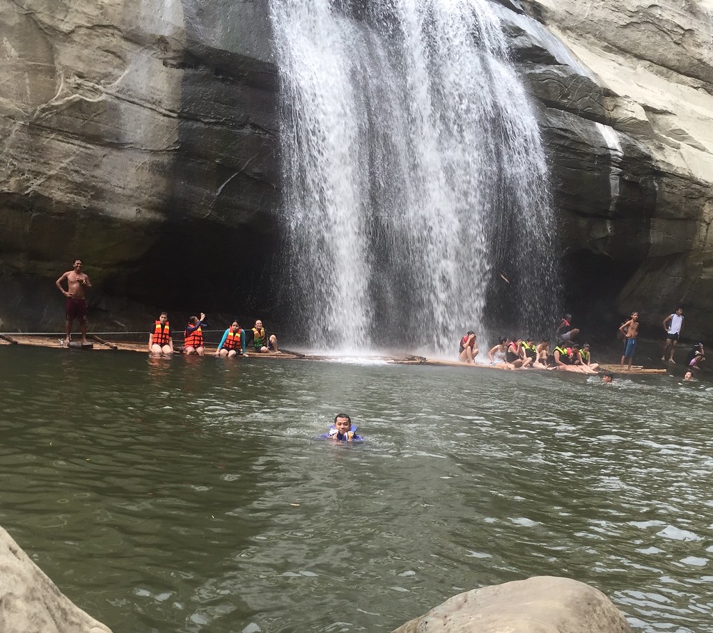
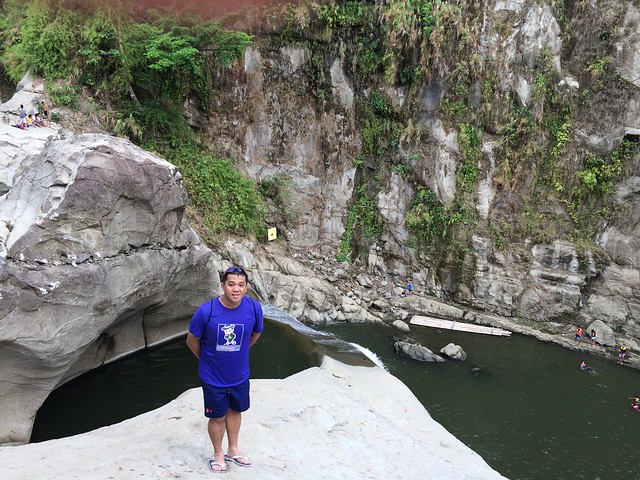
What’s making the effort worth its while is the view of Taal Lake from each stops. They really have thick forest reserve here and you’d barely feel the heat because of the covered trails. We’ve finally hit the area before the camp site where we had our lunch. The initial plan was just to do the Rockies and didn’t include the summit. So I started asking people if they’d want to try the summit. There were already several in the group who wants to go to the summit but we’ll decide after we go to the Rockies.

We had to climb boulders of rock heading to the Rockies.
We were at the campsite at about 1.8 kilometers. The road to the Rockies had a steep descent with rope supports and climbing through large boulders of rocks. The descent was a bit difficult especially with some pain on the ankle especially when I landed the wrong way. The climb through the boulders of rocks was challenging as you had to find areas where you can hang on to and at the same time, be conscious on your surroundings as you might hit your head on some of the boulders. It’s a little bit of strategy here as you try to find ways to do the climb.

A Selfie with Taal Volcano.
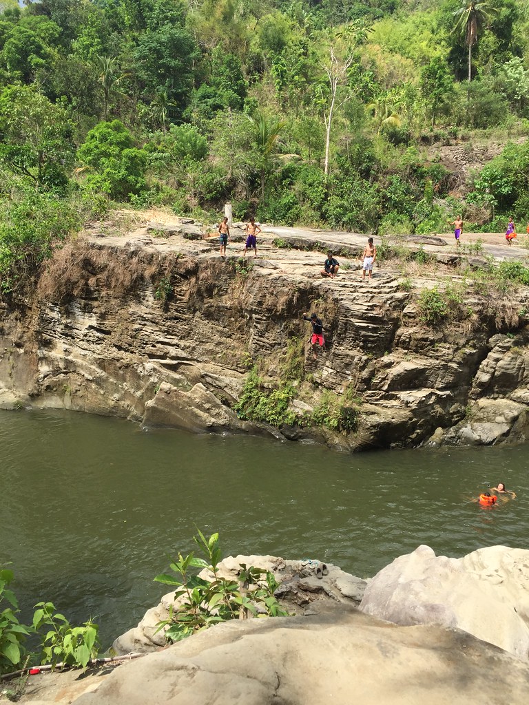
It was an amazing view at the top of the Rockies. You had the lush green forest surrounding you, a view of Taal and it’s lake. There was a queue on some spots at the Rockies since it’s known as a photo area. We then headed at one side of the Rockies where you get to see by the edge of the cliff and enjoy the view. It’s a bit scary to be sitting on the edge of the cliff but knowing me, I wouldn’t dare miss an opportunity.

It’s the scary kind of fun being on an edge of a cliff with the beauty of nature surrounding you.
When it was my turn, I headed to the end of the cliff and sat there. It was a beautiful vantage point of the view yet it felt scary as one misstep could mean you falling down a cliff. It felt awkward at the start but once I was seated at the throne, I felt at peace with nature. It’s not everyday that you get humbled by the sheer beauty of nature. This angle had the Taal Volcano as part of its backdrop. Seeing Taal Volcano in Tagaytay is already amazing but seeing it much closer through the Rockies was even better.

I’m just a tiny speckle of the wonderful world we live in.
We shifted to the other side of the Rockies. While the other side showed Taal volcano, this one shows you Taal Lake and the rich forest reserve of Batangas. This was a much bigger rock formation and coming from a scary sit by the cliff, we were braver at this point. The formation was uneven but I was able to brave standing by the rock and just be a tiny speckle of the awesome view.

Off to the Summit
After our time at the summit, we went back to the camp site to decide whether we should go to the summit or not. I said that we were already here and we should just seize the moment and climb the summit. I rather have a hard time trekking the summit than wondering what if. Eventually, 9 of our group decided to go the summit and 5 went back. One guide went with them and one guide went with us.

Enjoying the climb!
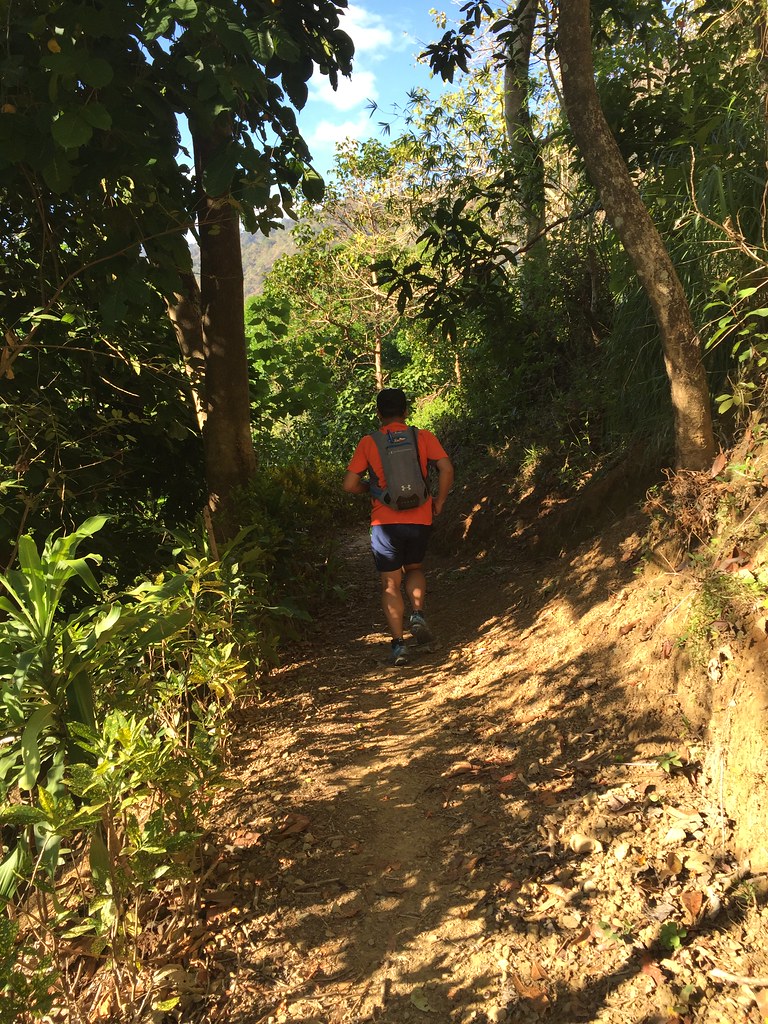
The climb to the summit started with a moderate climb at the first kilometer of the climb with a single track dirt roads on a mossy forest trail. I was checking on the altitude and this time I was waiting til we reach 930 meters, which was around 250 meters from the Rockies. The last 500 meters became challenging with the trail getting steeper and more technical. It also rained for a while. We took it one effort at a time and had also some rest stops while waiting for the rest since we had to move as one group since we only had one guide with us. We were moving faster and had fewer rest stops compared to the first climb to the Rockies. It took us less than an hour to reach the summit.

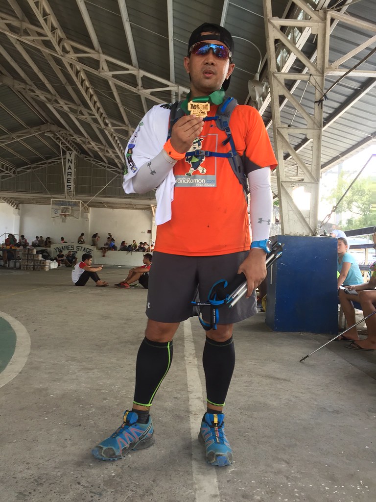
The Summit
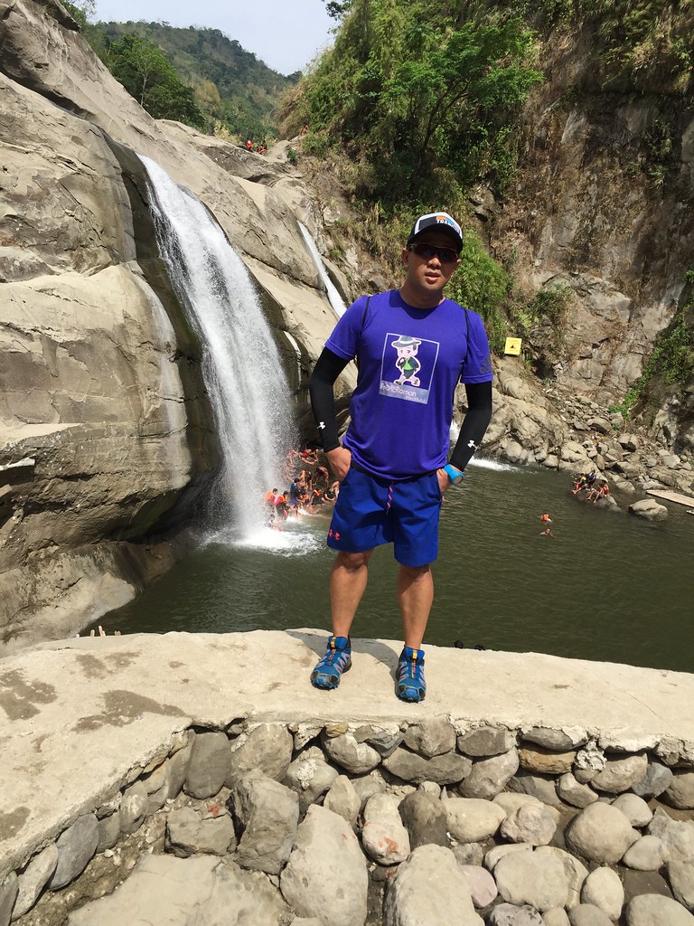
The summit even had a better view of Taal Volcano, Taal Lake and the surrounding forest. It always worth it reaching the summit. It’s a milestone and it’s a high when it comes to climbing. That’s the adventure in it as you get to experience the climb as a whole.

The view from the top.
We then had to decide whether to go back on the same route where it’s more predictable or take the traverse which was a mystery to us at this point. There was also someone in the traverse who had a bad case of cramps and we could hear his screams at the summit. Eventually, the adventurous side in us prevailed and we took the traverse. The traverse is just 1.5 kilometers on really challenging trails while going back would be 3.5 kilometers on easier trails.

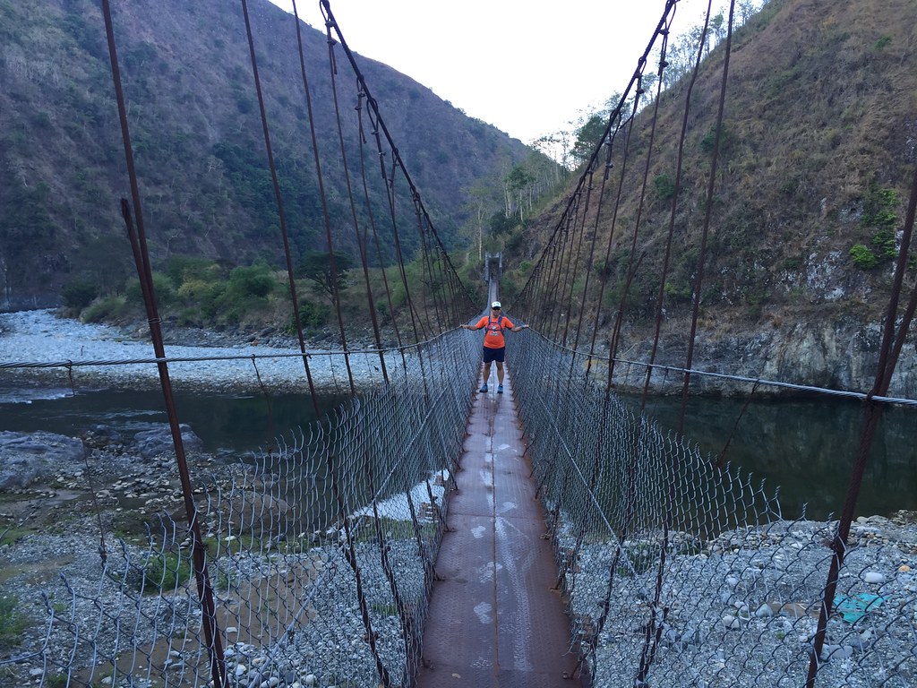
This was one long rappel down.
We saw the one who got cramps in the trail about 100 meters from the summit. I joined the first group on the first descent as we didn’t want to crowd the area with the injured trekker. I immediately figured out that this would be a difficult trail as it started with a very steep and slippery descent. It had as grabbing through stones, trunks and steps just to have additional balance on the descent. We waited for the rest after the descent since we had to have the guide for the rappel part. The rappel part was even much steeper and had us navigating through the rope on a very long descent.

Deep into the forest with Inja and Rochelle.
After the long rappel, we shifted to technical trails that was a challenging to navigate. It continued on the steep descent on varying surfaces and uneven terrains. I guess that’s what happens when you cramp up 650 meters of elevation in just 1.5 kilometers of distance. You just have to be creative on trails like this and find the best way to move faster and safer. I suddenly saw our guide speeding past me and I asked why. He told me that there was another rappel part that he had to oversee us.

It’s like rappelling through a wall without a harness.
It was a tough one as it was a deep ravine with a rope. It was like rappelling through a wall without a harness. We had to really hang on to the rope, find some uneven rocks for added balance on the next step and don’t panic. Funny, how I stopped in the middle of the climb to hand the guide the camera so he can take the photo above. You’ll always find a way and the guide was also giving some pointers to some on where to step on the rappel part. This was the toughest part of the climb. There were a lot of monkeys on the trees after the descent. We were watching the monkeys plays.while we were waiting for the rest on the rappel.

At the Grotto
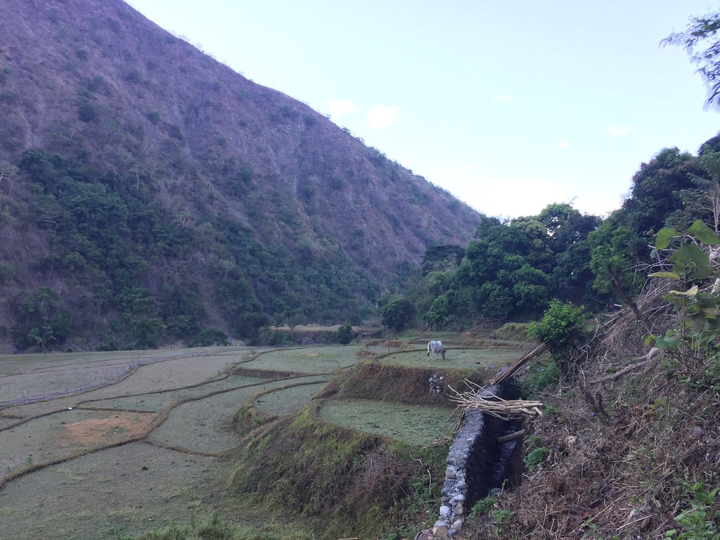
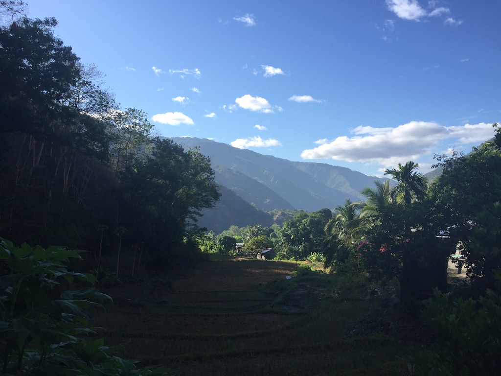
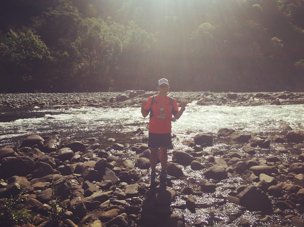
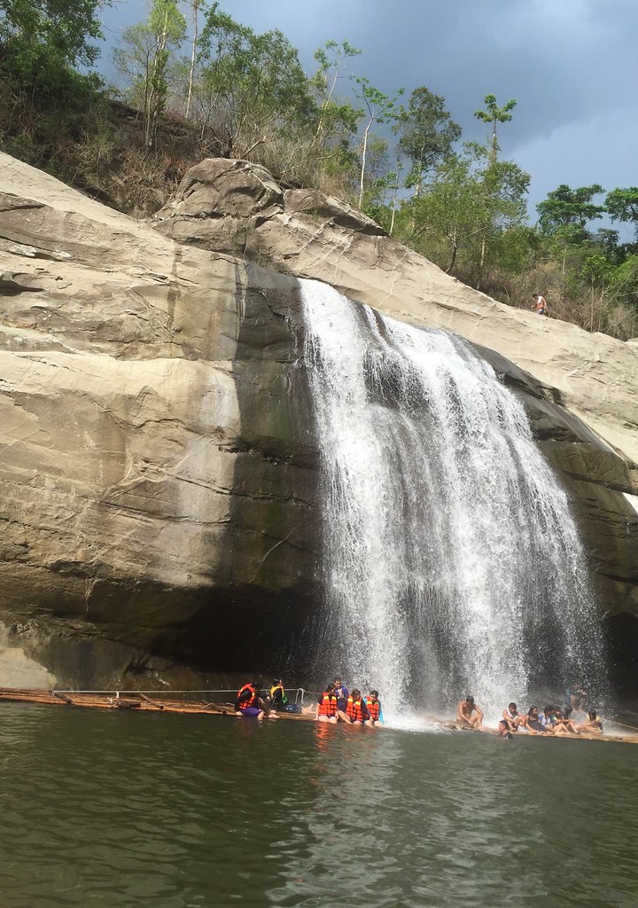
It was still technical surfaces after the rappel but glad the hardest one was over. After a while, we finally saw sunshine as we excited to the Grotto. After the Grotto, it was just going through steps and a short trail portion before the trail exit point. It’s also used as stations of the cross so you can actually count down the steps after you reach each station. That was a complete adventure from technical trails to steep ravines and cliffs and changing weather conditions. We took the harder way but it made the adventure much sweeter.
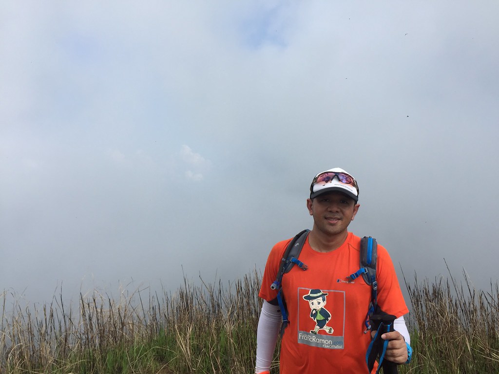
Outfit of the Trail

- Top: Berghaus with #TaleOfTheTrail design by Breakout design
- Shorts and hydration bag: Under Armour
- Shoes: Salomon Speed Cross
- GPS Watch: Suunto Ambit 3 Sports
- Trekking Pole: Black Diamond Distance Z Poles
- Cap: Specialized
- Eye wear: Oakley Racing Jacket


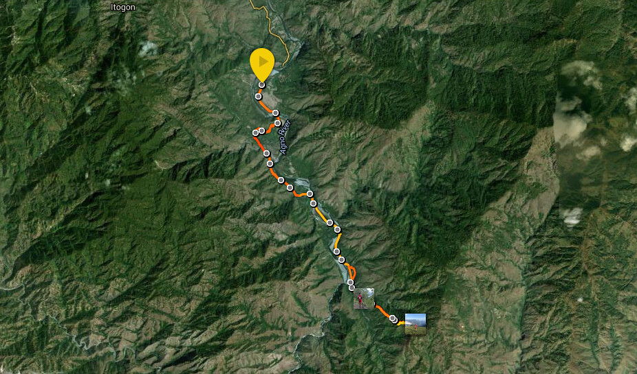
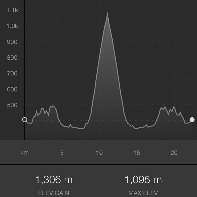


 Map and Elevation