Wet and Wild 10K Double Terrain Challenge
It was a wet and wild Double Terrain Challenge with Unli-Putik and Unli-Ilog. True to its name, it was a challenge indeed and a really great way to enjoy the trails of Tanay in a bit wilder condition.
Read About:
Double Terrain Challenge

Post Race Lunch
I’m starting to get the hang of being a weekend warrior once again. Been through the route of Double Terrain Challenge twice before the race. One was a rainy day hike at Mount Paliparan last year and a recon hike on a sunny day a few months ago. It’s a totally different experience on wet and dry conditions. The last time we did the recon for the hike, it took us 2:30 on a walking pace and dry trails so I should shoot for a shorter time for this one. It’ll be a challenge this time as it’s been raining lately, which just means trail conditions would get wilder on race day. When it comes to trail running, you can be in the same route several times but it will always be a different experience.
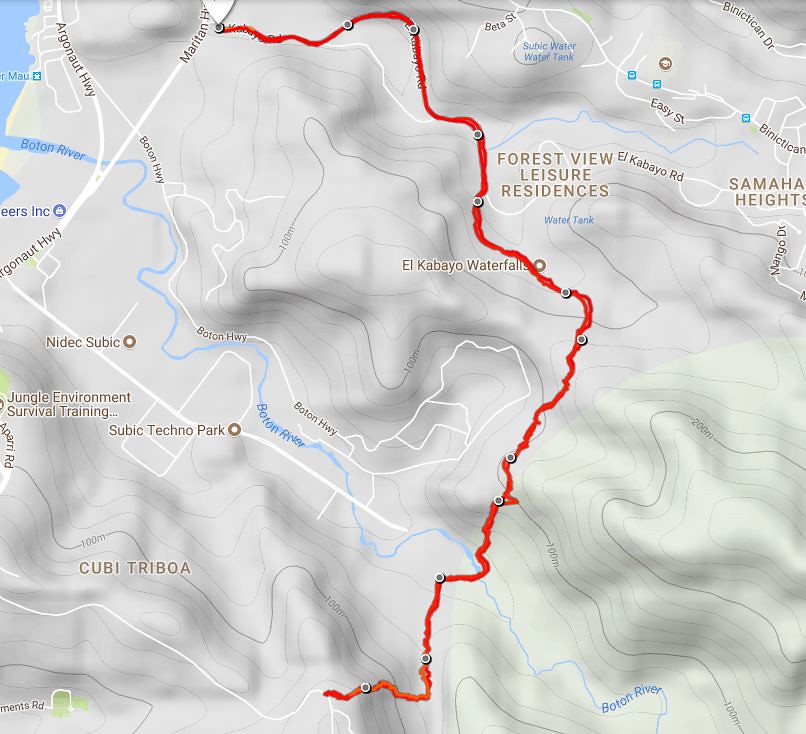
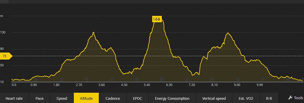
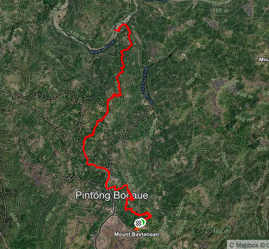
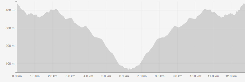
Race Route and Elevation Profile

Race Route and Elevation Profile Powered by Suunto Spartan Sports WHR

Race Routes at Brgy Cuyambay Basketball Court and goes on a rolling descending trails to Tuuy for the next 5.5 kilometers. The race shifts to about 1.5 kilometer of river treks to Tung-Tong Falls before heading on a steep uphill for the 8th kilometer before heading to the finish line
The Race

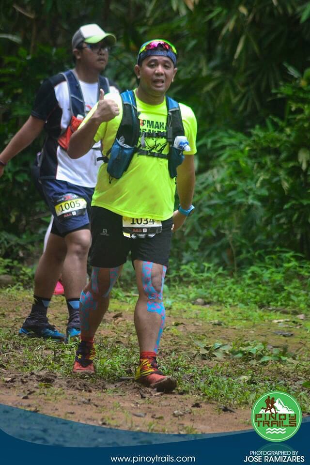
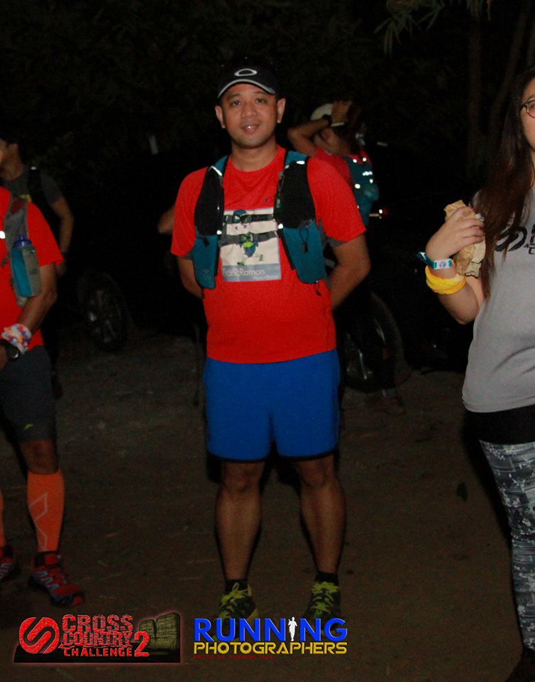
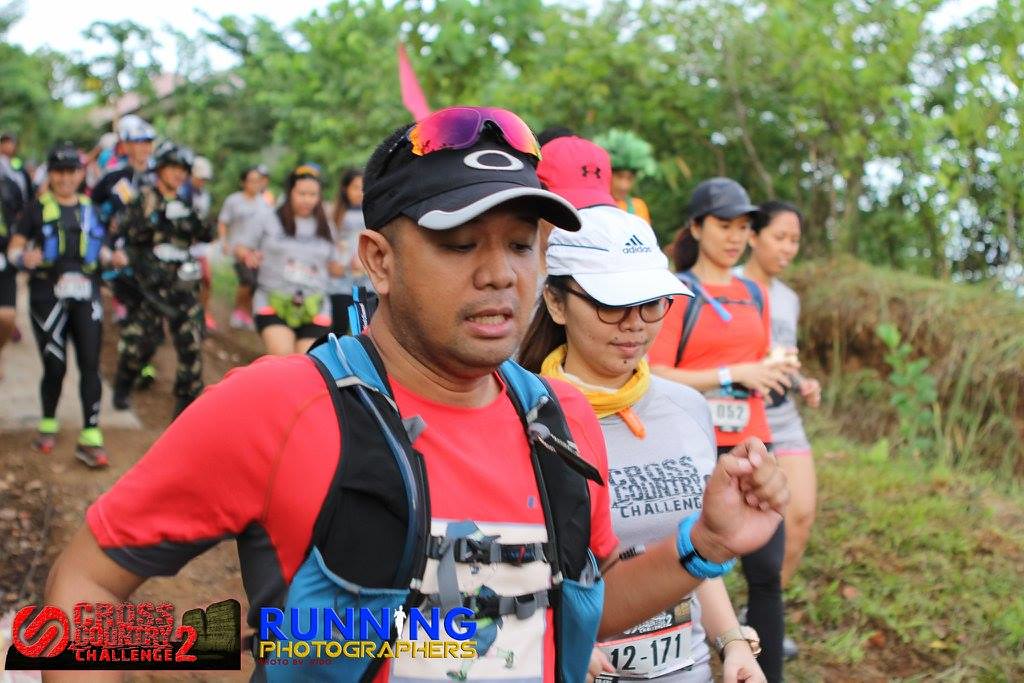
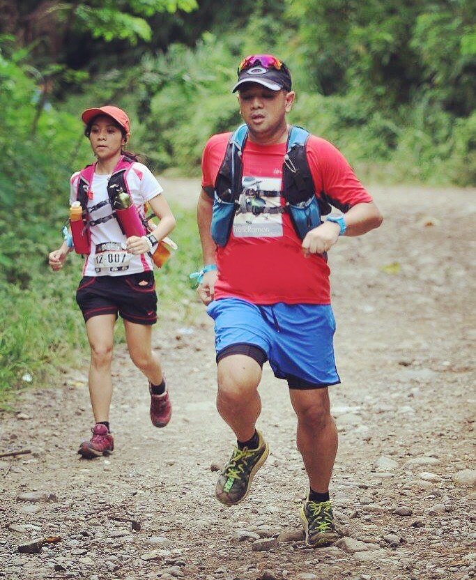
Start of the Race – Photo by Jose Ramizares
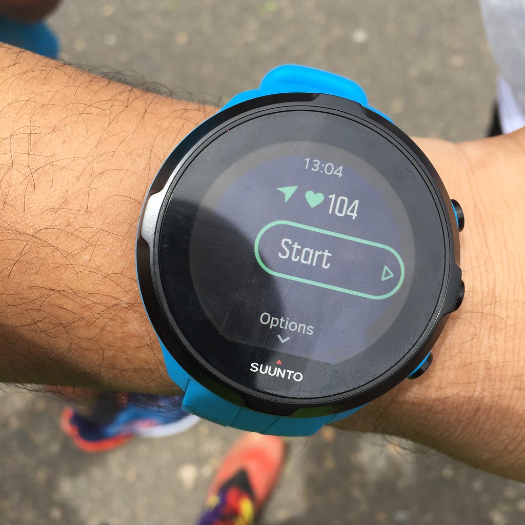
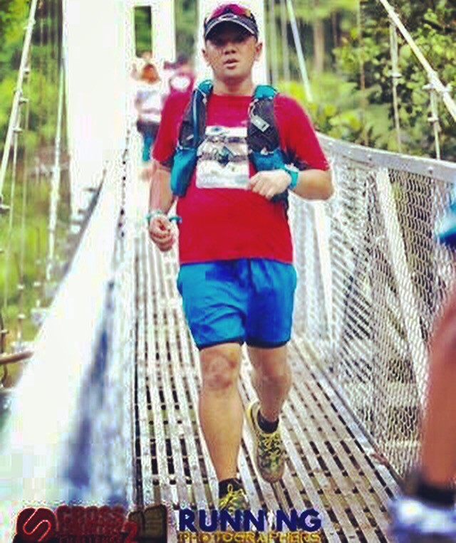
I was the designated driver for this one, picking up Maica at C5, Jose and his friend at Quezon City and Master Del at Marcos Highway. It was a long drive to Tanay but we arrived before 5 am, catching the 25 Kilometer gun start and an hour before our own gun start. It was foggy and rainy heading to Tanay, which meant that it’s gonna be a wet race. I felt relaxed during the race since I am familiar with the race. I’ll be using my Hoka One One Speedgoat 2 for the first time and Suunto Spartan Sport WHR for GPS Tracking and Heart Rate Monitor.
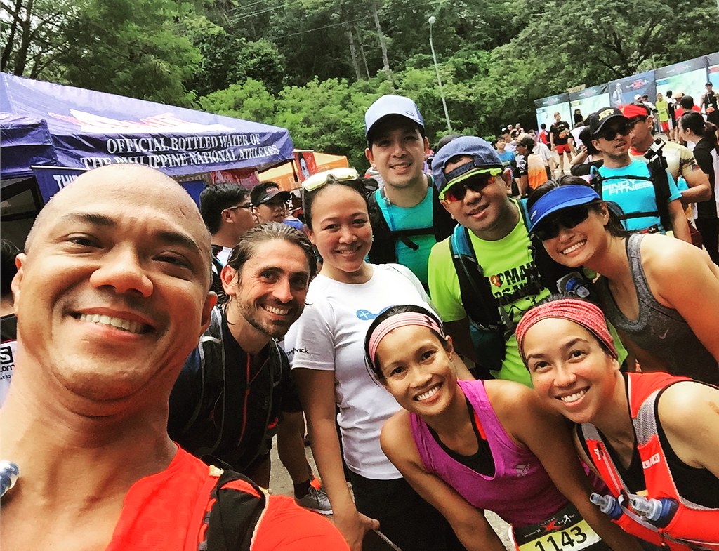
Nice Seeing Carla and Jami of Dans during the race
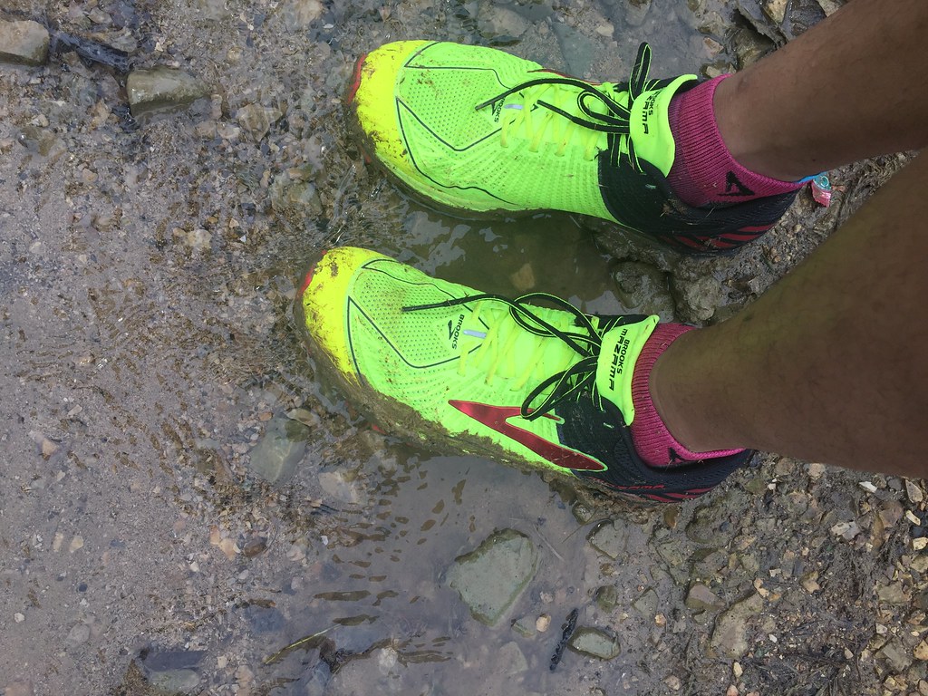
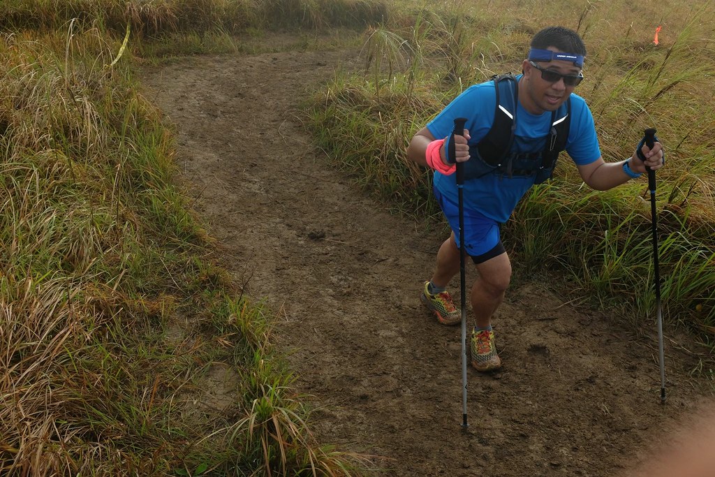
The race started at 6 am and I started walking on the first few meters just to keep my legs warmed up. I started to speed up after a few meters before hitting the trails and. After just a few minutes, I knew this was gonna be a longer race than I expected. It was a really wet and muddy trail with some parts that can reach around the shin level. In 10 minutes, my shoes was all muddy and it was a drag for all of the runners as they lined up on some solid surface. I joined some of the runners in braving the mud and to cross to the other side of the trail where there wasn’t a queue.

Trail Chick Maica of Team Smart joined us in the run.
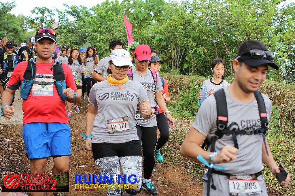
It was a really slow start because of the mud but we just kept on moving. 2nd-3rd kilometers were also muddy but we took advantage of some solid descending stretches to run. Compared to my past two times at this trail, this was the wildest in terms of surfaces. The drag was energy draining but I really wanted to make a good time on the first half of the race as the second half of the race would be the tougher part. It also started to rain, which was refreshing though it made the trails a lot more slippery. Even if the surface was challenging, I still appreciate moments like this because it keeps my mind active on the trail as I adjust on the trail surfaces. Running on the descents and keeping a steady pace on the climbs.

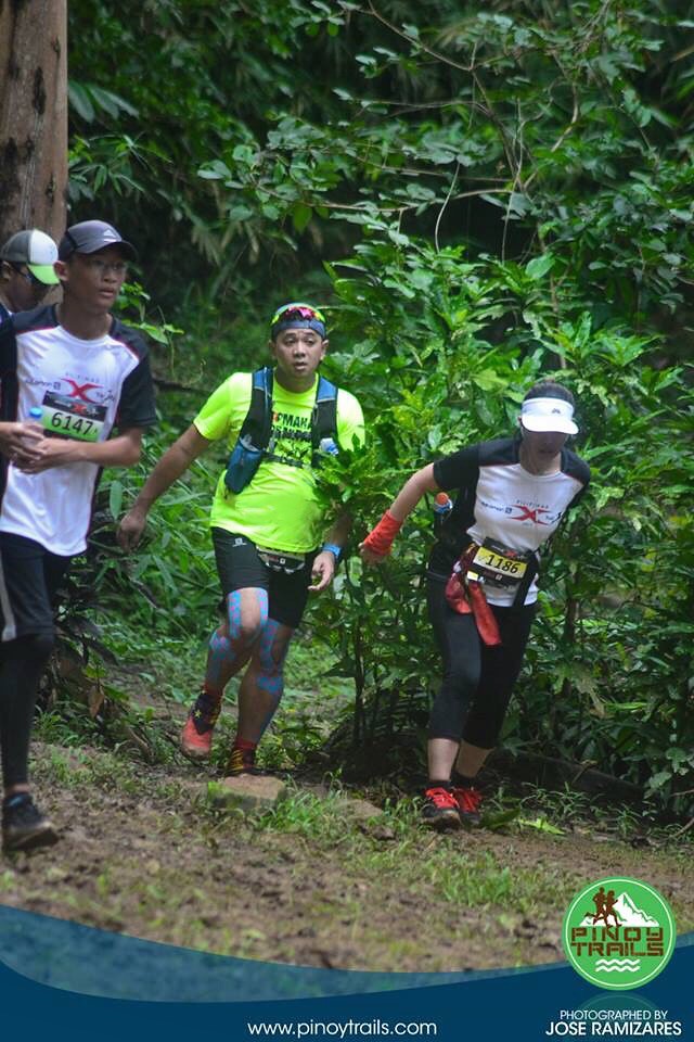
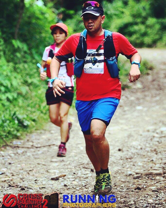
Just curious if this is the Hoka One One Speed Goat. – Photo by Jose Ramizares
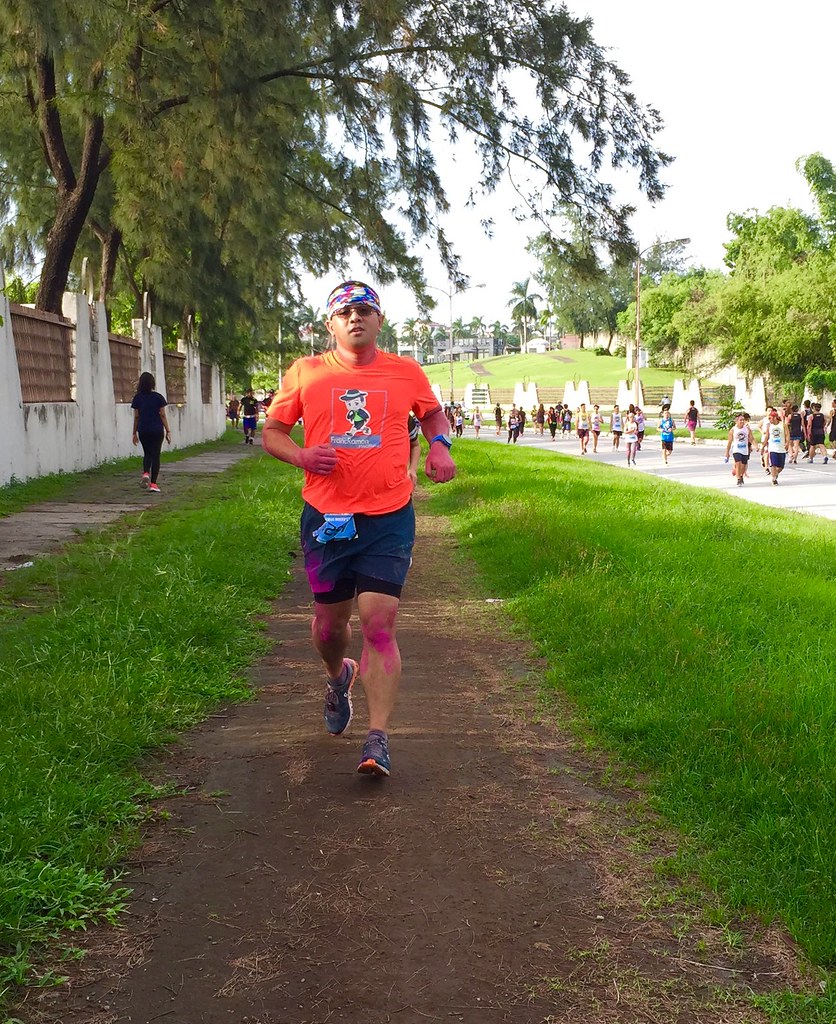
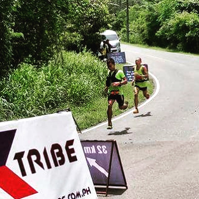
Kilometer 4 and 5 was my Time to Fly. Since Hoka One One Speedgoat 2 is a downhill running shoes, I started to speed up on the descent. With a really cushioned feel and stable support, the blitz on the descent was not painful on the legs and the knees and the traction was also excellent to keep me from slipping. I am usually cautious on descents but after being slowed down by he muddy kilometers, I just wanted to make some time to catch on my time. Having a shoe with good traction and support can really give you confidence on the trail especially on wild conditions.

Time to Fly – Photo by Chard Akol
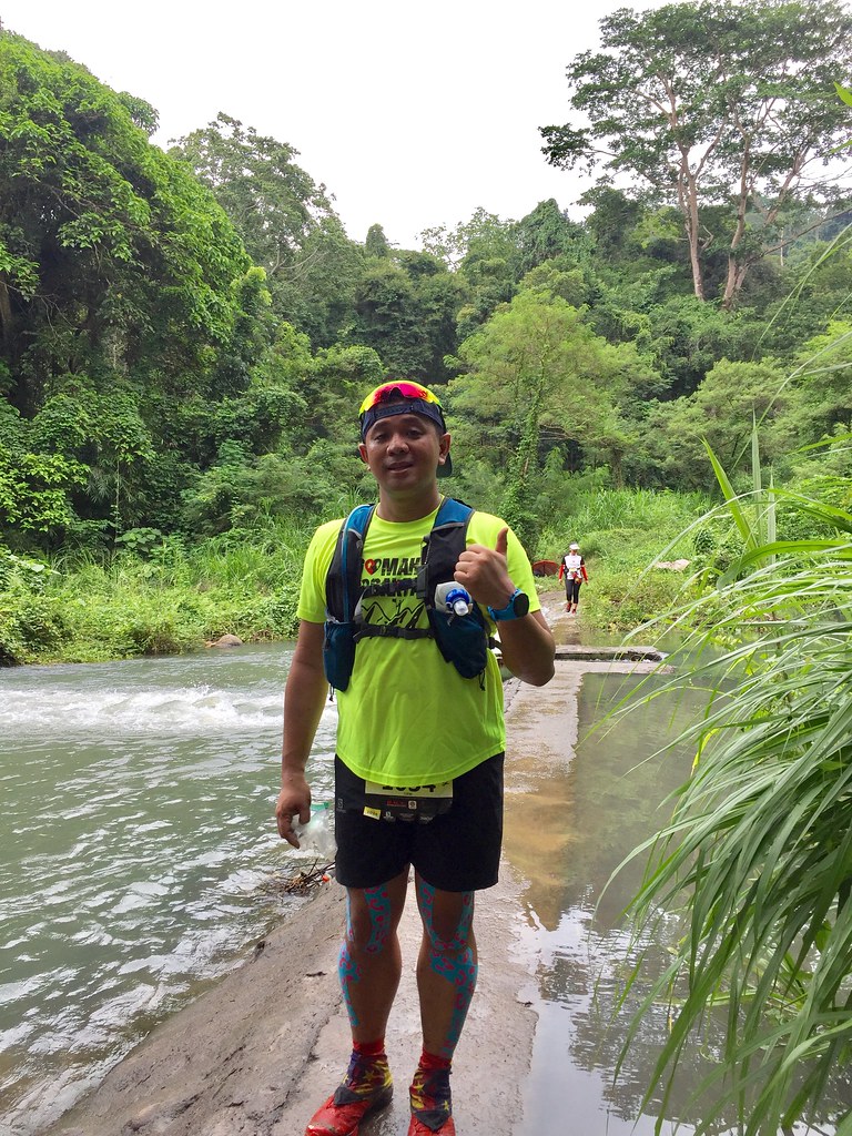
Arrived at aid station at Kilometer 5 in less than an hour, which was within my target time to reach the half way point knowing that the second part was the real challenge of the race. I took one hopia at the aid station, hydrated and of course one photo at my favorite spot in Tuuy.

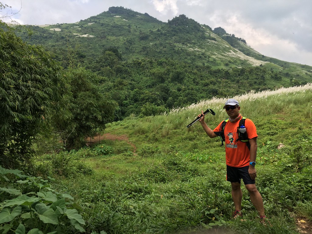
My favorite spot in Tuuy with the Majestic Mount Pailparan at the background. – Photo by Chard Akol
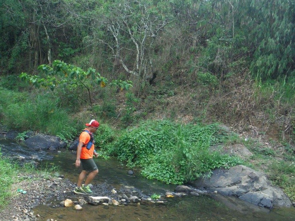
It was a quick stop this time as the plan was to go consistent. The next two kilometers were river treks. Since it was raining the past few days, the water was a bit deeper and the currents were a bit stronger. My goal here is to stay steady and keep my heart rate low as I know once I hit Tung-Tong falls, it’s gonna be a pure climb. The river trek was a lot more difficult than expected as instead of just river crossings, it was walking / running against the currents. The river stretches were longer and deeper compared to the last time I was here. There were also a lot of boulders that added to the difficulty.

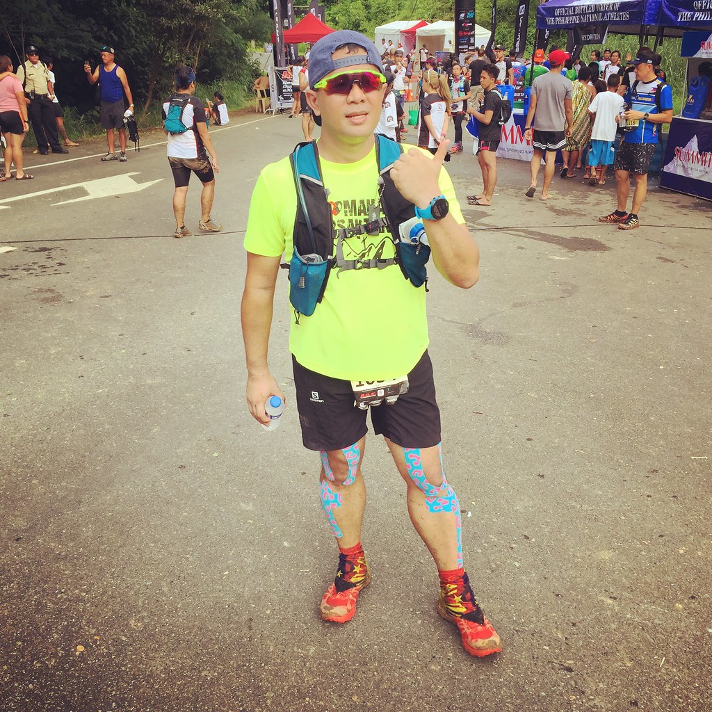
Trail Weaponry at its Finest – Hoka One One Speedgoat 2
How difficult were the river stretches for me? It took me faster to climb the steep ascent than trekking the river. It was nice seeing a lot of familiar faces and friends as we were meeting the 25K runners who are doing the reverse of our loop. It takes time to figure out my steps on the rivers and the boulders. I also slipped sideways on one of the bigger boulders, hitting my hips. Good thing, I was able to hang on to something or else, I could have fell off the boulder. I stood up immediately and was back on course. At kilometer 7, we hit Tung-Tong falls.

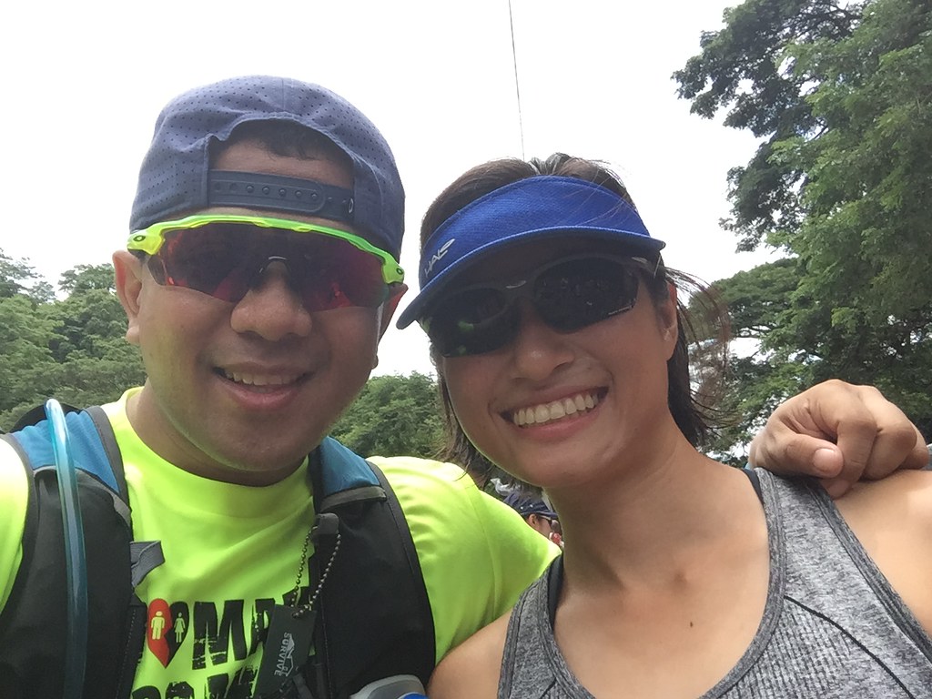
It was really nice influencing Amanda Fernandez of Solar Sports and Sparta to try out trail running and she also had a really memorable experience too.
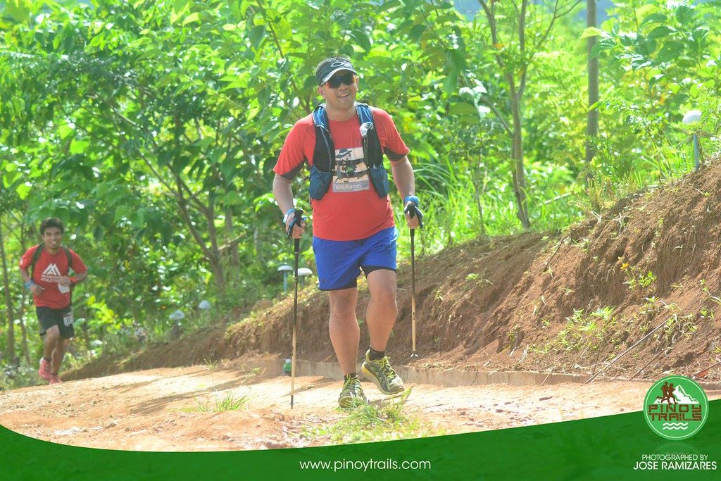
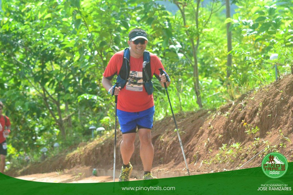
There was a queue at the foot of Tung-Tong falls since the boulders were a bit slippery, we had to wait for the 25K runners descending the falls on the ropes before we came out. Safety first. It took a few minutes before having our turn to trek the falls and after a several level of the falls, we were on the steep climb. There were ropes, which gave a mental imprint on the difficulty of the climb. It was dry the last time and we manage to ascend the steep part without the ropes. The rope was helpful now since it’s a lot more slippery and given the degree of the ascent. I took the climb with several efforts at a time. I took around 20-30 seconds rest after several steps as my heart rate was rising fast. I’m starting to get the hang of managing my effort based on my heart rate based on Suunto Spartan Sport with Wrist HR.

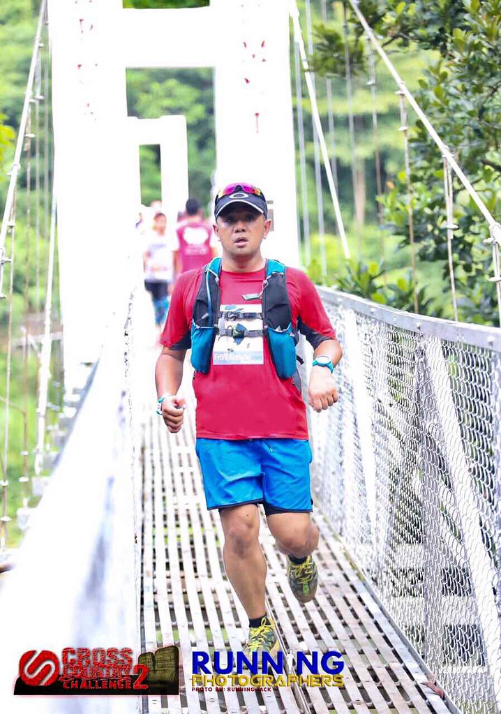
Back on track – Photo by Jose Ramizares
It was a welcome relief after hitting the top of the climb. I still need to work on my climbing skills and reduce my rest breaks but I did make some progress compared to racing two weeks ago. It was back to the muddy trails and it was uphill this time. It was dragging once again and the part with the soft mud had me sinking almost knee deep. I couldn’t pull my leg out of the mud that I had to pull the back strap in my shoes to lift it. I tried to go for more solid mud grounds after that. I slowly made my way to the paved part and made a run for the finish line.

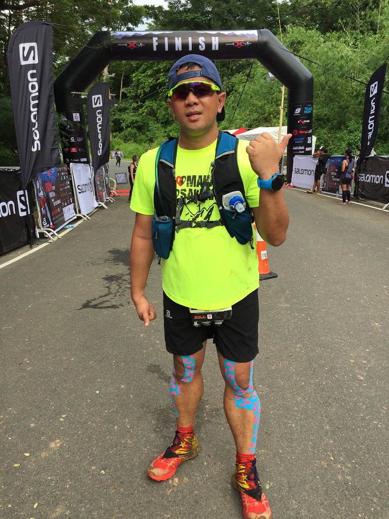
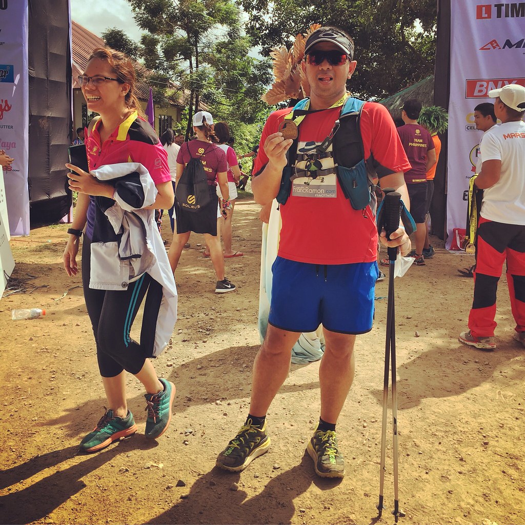
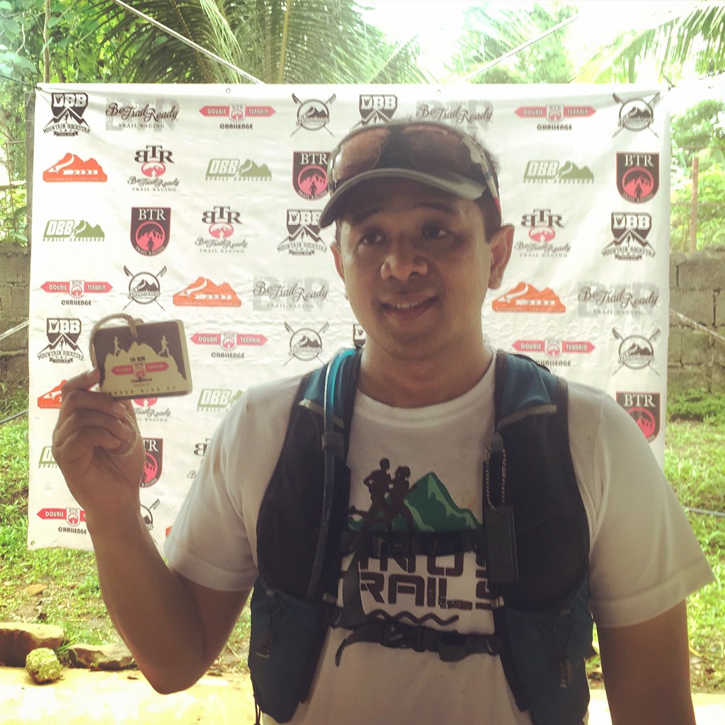
Finished! – Photo by Diwata ng Bicolandia
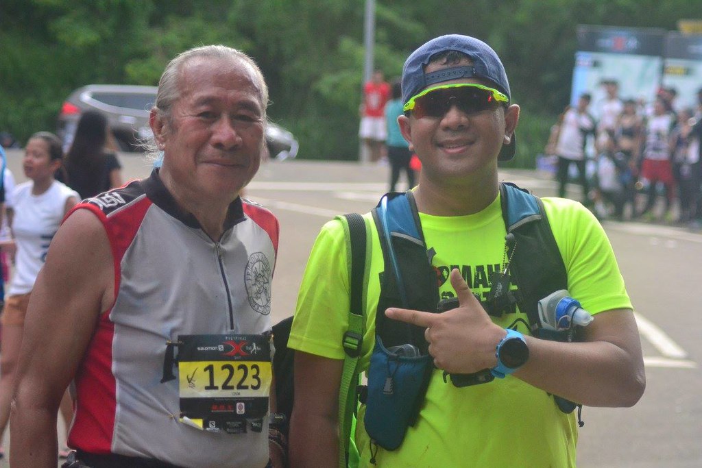
I finished the distance at 2:08, faster than our recon time the last time. Given the trail conditions, I’m happy with my time and I’m glad I pushed myself harder this time. Crossing the finish line is such a great feeling and I’m glad I’m doing this a lot more often now. Congrats to the Be Trail Ready Team for a great race.

Mission Accomplished