

The Beauty of the Morning Sun on at Tanay, Rizal
With the Sierra Mountain Range as their backdrop, Tanay, Rizal has a lot of scenic trails. These trails rewards you with an overlooking view of the mountain ranges, crystal clear river crossing and really scenic waterfalls. It’s gonna give you an adrenaline rush as you breeze through its descents, test your wills on the climbs and bring out the kid in you on the rivers and waterfalls.
Read About:
- Climbing the 12 Peaks of Mt. Batulao
- Cordillera Mountain Run
- Testing Out Brooks Pure Grit 4
- Brooks Run Happy 3
- #TaleOfTheTrail Dragons Back (Hong Kong)
- #TaleOfTheTrail Camp John Hay Trails (Baguio City)
- #TaleOfTheTrail Mount Talamitam (Nasugbu, Batangas)
- #TaleOfTheTrail Mount Cabuyao (Tuba, Benguet)
- #TaleOfTheTrail Maysawa Trail (Tanay, Rizal)
- #TaleOfTheTrail Mount Kinabalu (Kota Kinabalu, Sabah, Malaysia)
- #TaleOfTheTail Mount Marami (Maragondon, Cavite)
- #TaleOfTheTrail Lantau Peak (Lantau Island, Hong Kong)
- #TaleOfTheTrail Lion Rock (New Territories, Hong Kong)
- #TaleOfTheTrail Ampucao – Sta Fe Trails (Ampucao, Itogon, Benguet)
- #TaleOfThe Trail Casile/ Bajo River / PG / Pintong Bukawe (San Mateo, Rizal)
- #TaleOfTheTrail Mount Makiling (Los Banos, Laguna)
#TaleOfTheTrail
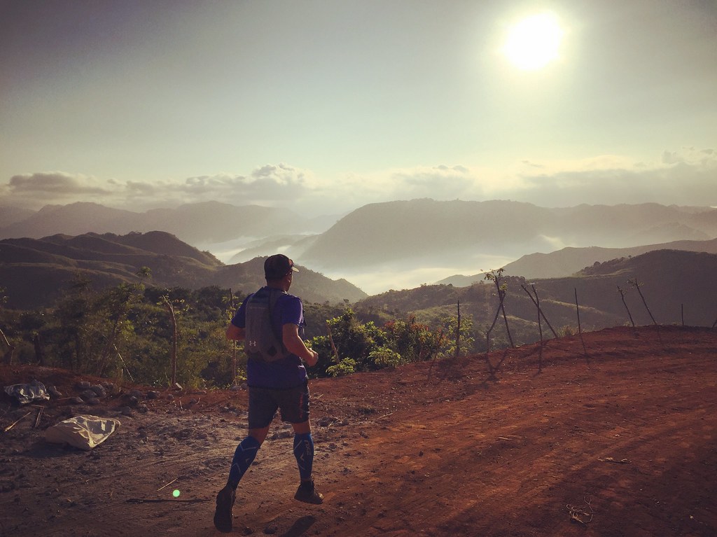
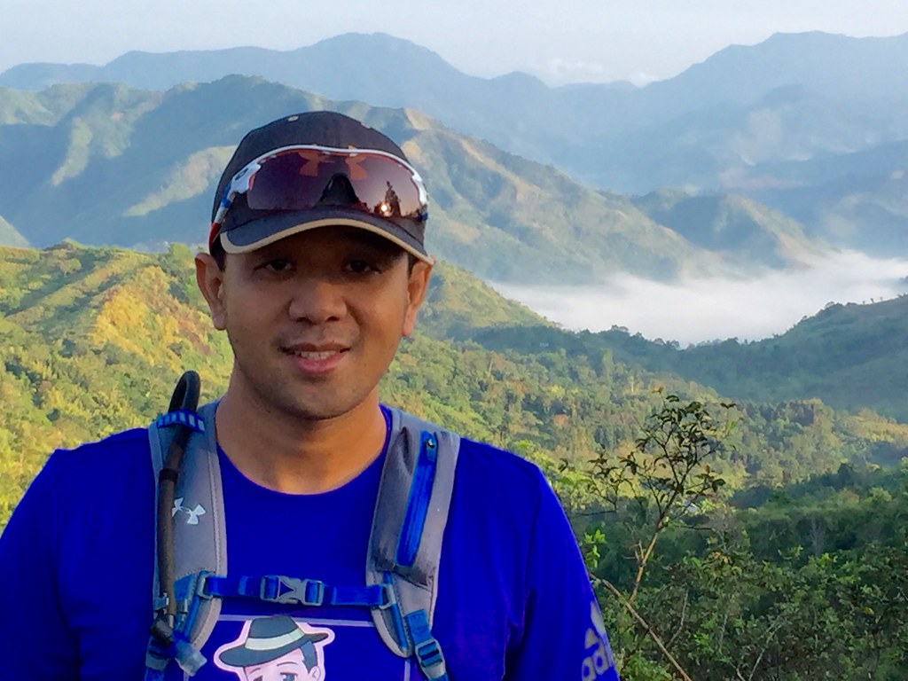
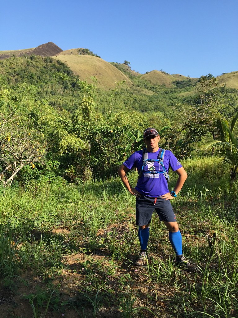
The Sierra Madre Mountain Range around me.
I haven’t been on a trail for over a month so I convinced Rene of Jazzrunner.com and his friend Jun for another round at Sierra Madre Trails. Last year, we visited the trails in this area but there can be many variations of trail in this area. There’s so many ways to mix and match the trails in this area. Explore, get lost and appreciate. That’s the game plan. We met up around QC before 5 am, had breakfast along the way and before 6:30 am, we were good to go. Anytime I’m at the trails always spells F – U – N in my books.
The Map and Elevation
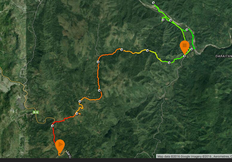
Map Powered by Suunto Ambit 3 Sports
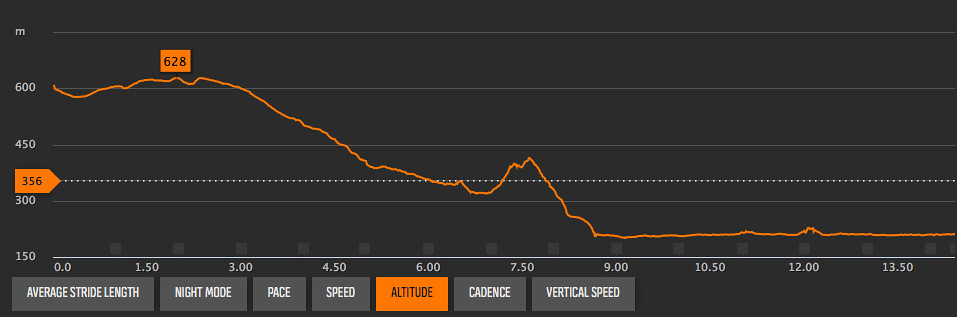
Elevation Profile is powered by Suunto Ambit 3 Sports
The route start at Pico De Pino in Marilaque Highway and had around a kilometer worth of road before entering the trail head. The next 6 kilometers is a descent of about 300 meters of elevation. The route shifts to a steep climb on the next kilometer with an elevation gain of about 100 meters before a sharp descent on the next kilometer with an elevation loss of about 190 meters. The rest of the course is along flatter terrain navigating from one waterfall to another and back at the town area.
Trekking the Sierra Madre Trails
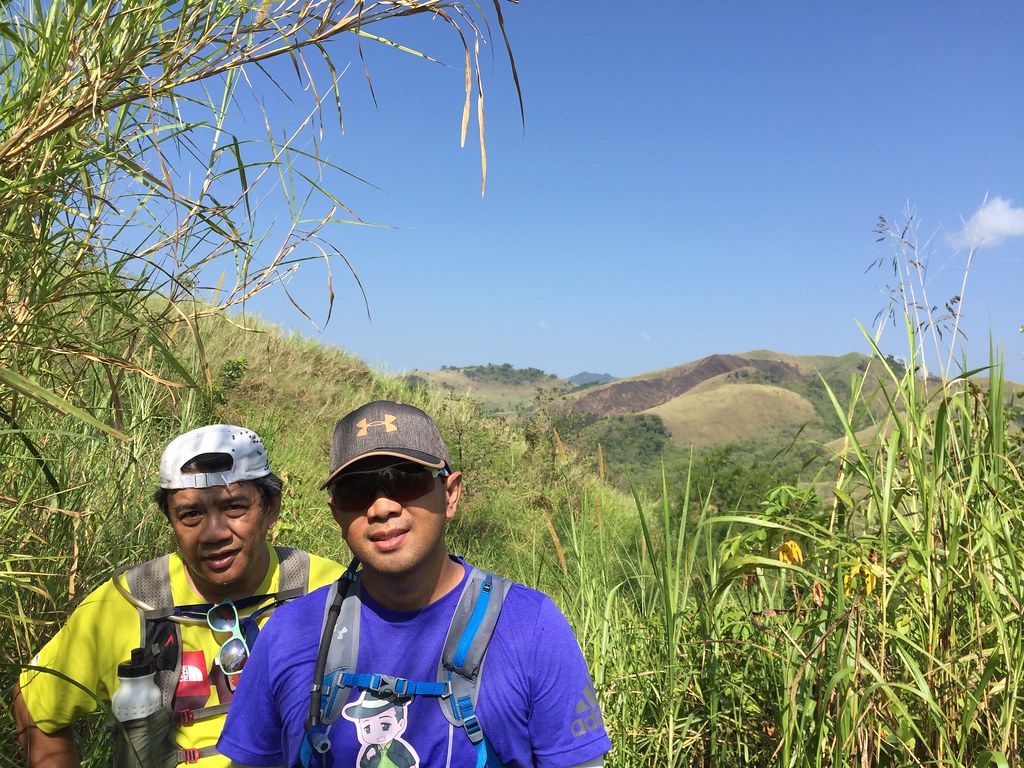
The Usual Trail Suspects
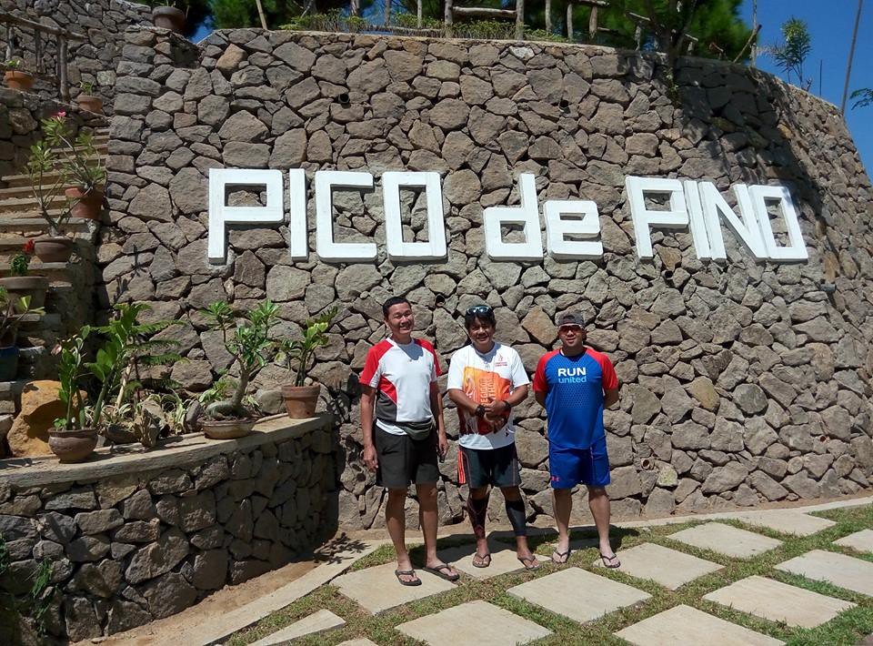
We arrived at our jump off point at Tanay, Rizal in a newly opened restaurant called Pico de Pino instead of the usual Ten Cents to Heaven Access Point at the highway. Since the highway is at an higher altitude, you already get to appreciate the surrounding views of the Sierra Madre mountain range around you. I also appreciate the place for the cold morning breeze and the clean surroundings. We had a really easy chit chat pace on the first kilometer which is a rolling stretch of roads before the trail head.
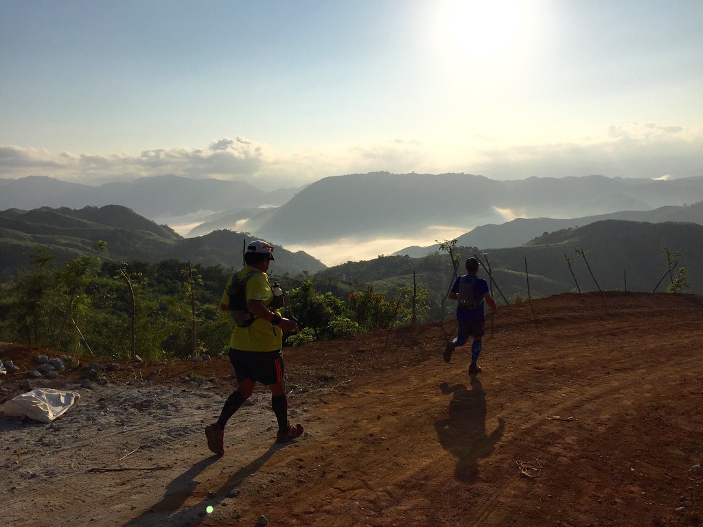
The mountains and the clouds always make up a good background.
The trail had a mix of paved road and dirt roads. At this time of the day, the clouds were surrounding the mountain tops. It was majestic at this perspective. The place is already being developed and it gives you a feel of a less crowded Tagaytay with the cool climate and the surrounding views. At about 1.5 kilometer, we saw a new trail / road being constructed and it had the perfect view.
This is our playground!!!
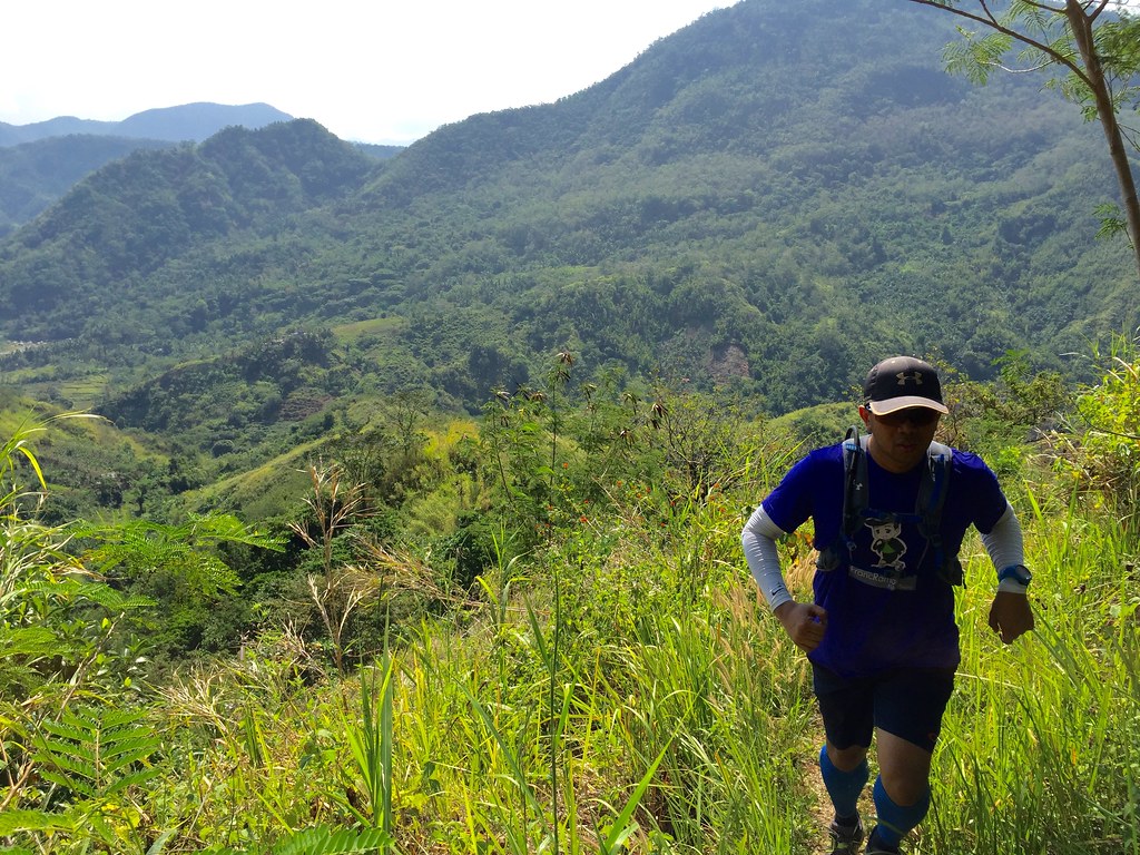
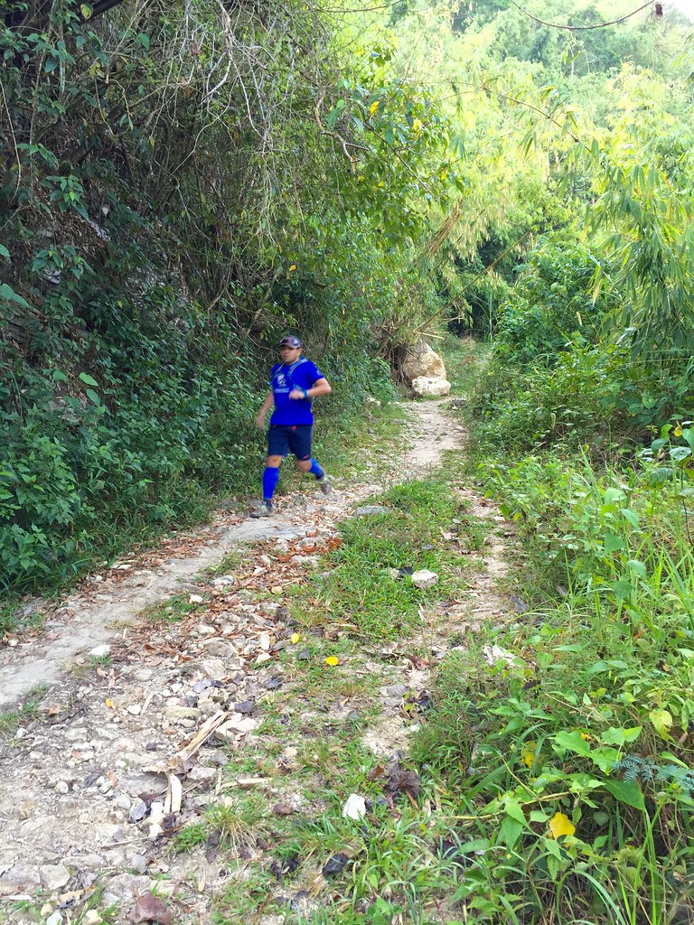
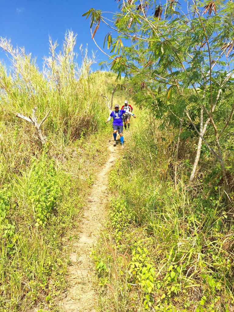
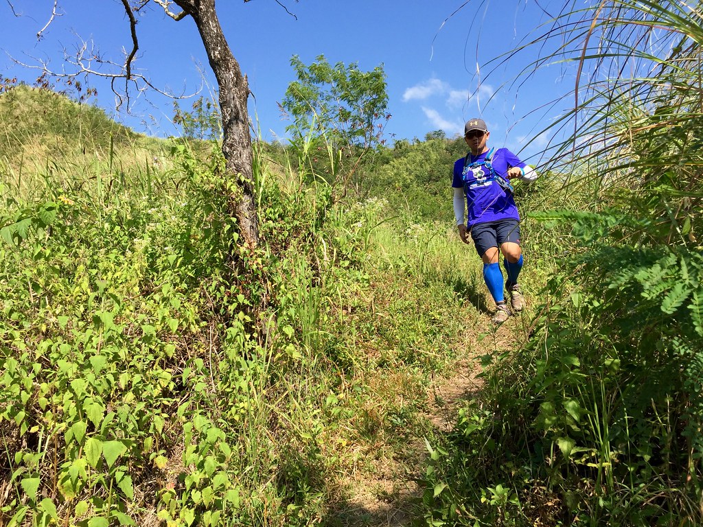
The next 4 kilometers were downhill that had us switching from dirt roads, paved roads to single track trails. The beauty of the descent is that it can really bring out the daredevil in you since you can really blitz this trail. Trail running is fun when you get to brave the downhill.
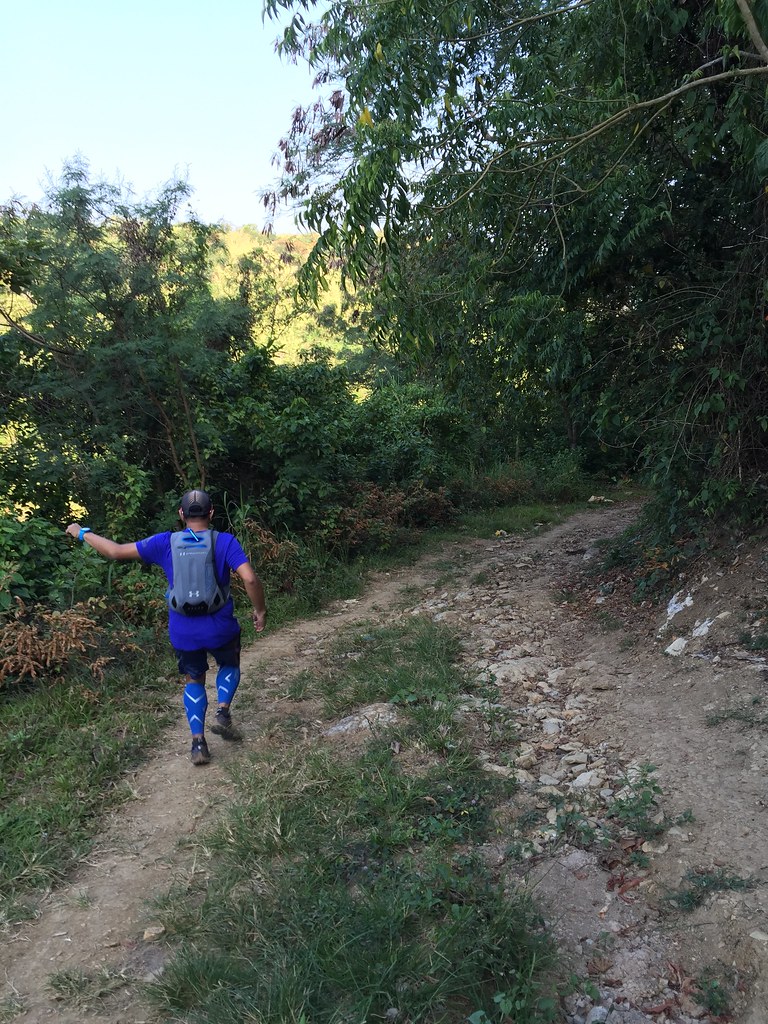
Trail Running is Fun!!!
The trails are softer on the knees This really helps a lot since downhill running can really give the knee a lot of pounding. The trails were wide enough to run with a wider stance to keep your balance and was solid enough to give you a firmer landing spot. The view shifts from the mountain views to shrubs and forested areas. They also have a local church you get to pass by along the route.
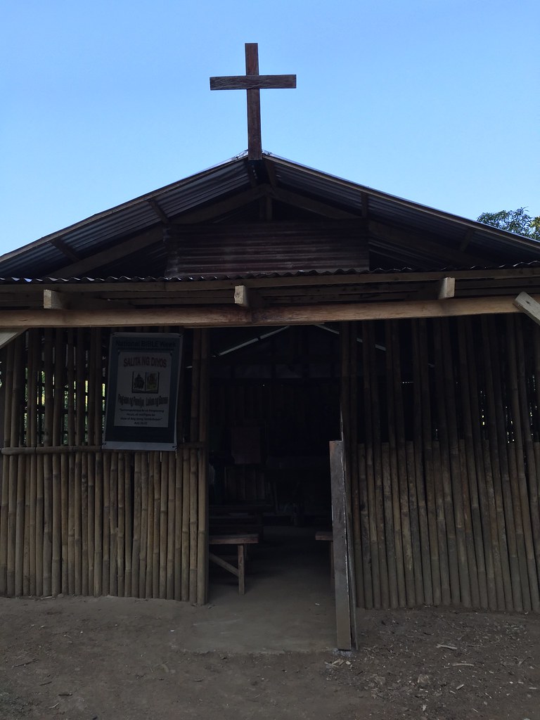
A Local Church along the trails.
After the church, the downhill path resumes. This would really give runners trying out this course a really good time. I used to be cautious on descents in the past but for this one I’m bringing out the little Kilian Jornet in me.
Unleashing the little Kilian Jornet in me.
The trails slowly shifts to single tracks and when you see a fork, turn right. The last time we took this route, we went left and it took us longer to reach the rivers. The right part of the trail were on single tracks and was running by the side of the river. There were also bamboo shafts in some of the trail. I was hoping the Kung-fu Panda would pop up on one of the bushes.
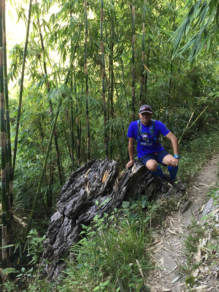
Taking a rest on this awesome rock formation.
The descent were on its final part and it was shifting to be a more technical trail but one thing I learned during the last Nuun Dirt School was plan your trail like a chess match so visualize your steps several steps ahead. This would help you maintain a bit of speed and keep your balance along the way.

Getting lost in nature.
The trail was beside a silently flowing creek, which you could easily see at some access points. The end of the descent led us to some rice fields besides a creek of water. We went towards the trail instead of going up. Spoiler alert: This is the point were we took the wrong turn so we had to find a new way out of the trail. We went forward and here’s a funny picture of the Jazzrunner evading a pig on the route.
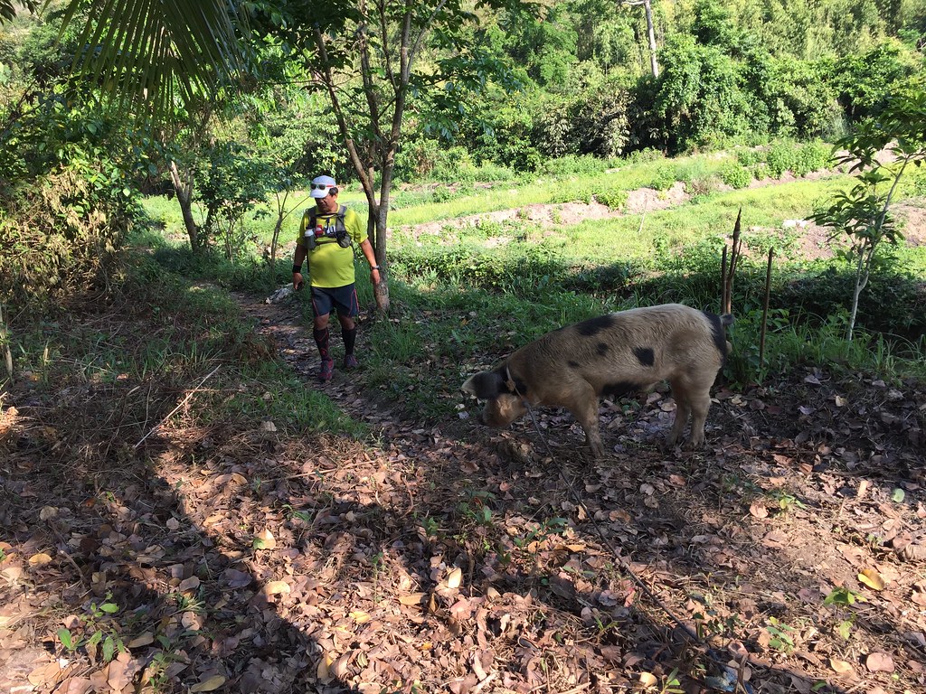
Jazzrunner vs Pig.
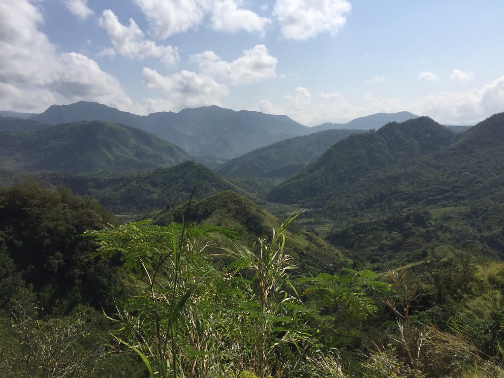
After this, we asked directions to the town proper and ended up taking a fresh set of trails. It turned out we found a better set of trails and we’d live to tell you about it as soon as we found our way out. We followed the trail and saw a lot of scenic views of the mountains.
It’s just humbling to be surrounded by the raw beauty of nature.
Rene and Jun had frequented this trail but the areas we are now uncharted territories even for them. We just followed the trail which now shifts to a slightly rolling ascent. The trails were a bit raw and had a lot of tall uncut grass along the trail so we had to squeeze ourselves in this areas. Aside from the scenic mountain view, we found this really beautiful creek along the route.
Beside Crystal Clear Waters.
After the creek at around the 7th kilometer, we started our uphill climb. The climb was short but it was steep. In the middle of the climb, we saw some locals and we asked for directions going to the town proper. It was at this point that we got the confirmation we knew about a kilometer ago, we were lost. One of the local suggested to make our way back which would be around 1.5 to 2 kilometers already. The other local named Rene offered to accompany us. Rene was fast on the trail so we had no choice but move fast on the steep ascent over the next 500 meters.
With the Trail Master Rene Villarta (Jazzrunner)
We took a break at the house of Rene before he pointed the direction to the trail exiting the area. There was a short climb from their house. At the peak of the climb it was a really wonderful vantage point as you see the surrounding mountain ranges in the area.
The views are just majestic.
From the top, it was about a kilometers worth of steep descent and I really enjoyed this descent. I was in the middle of the ridge running on single track trails with the view of the Sierra Madre Mountain range at both side. Running on steep single track is a lot tougher and challenging but it helps that you go in curves or S direction throughout the trails as it gives you more balance.
Running Downhill 101
It was a breeze at this stretch. It was exhilarating too. The soft trails was not rough on the knees and the ground was firm enough to take advantage of gravity on the descent. After the long descent, we headed out to the town proper at Laiban. This was a familiar place as Brooks Run Happy 3, which I joined a few years ago also passed by this town.
Approaching the end of the trail.
After finding our way out, I was still game for some trail time so I went with Jun to chase waterfalls while Rene stayed at the store in Laiban. We were trying to track the falls based on how we recalled the trail when we run this place a few years ago but it looked different now and instead of taking the easier way, we ended up passing by the river.
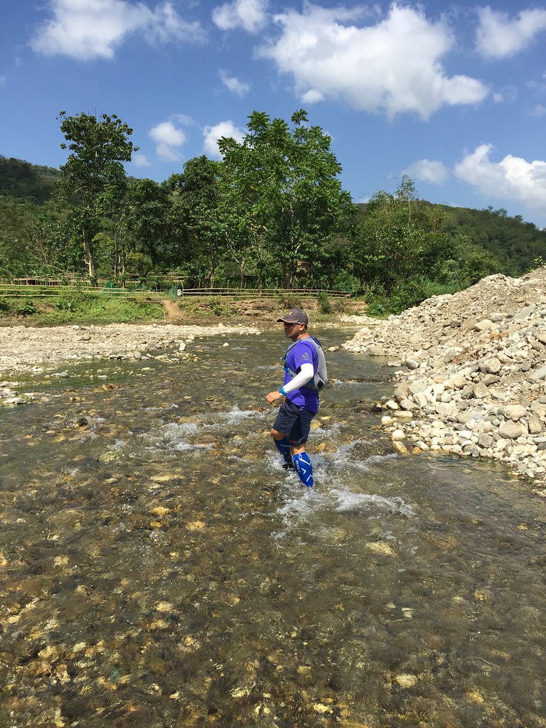
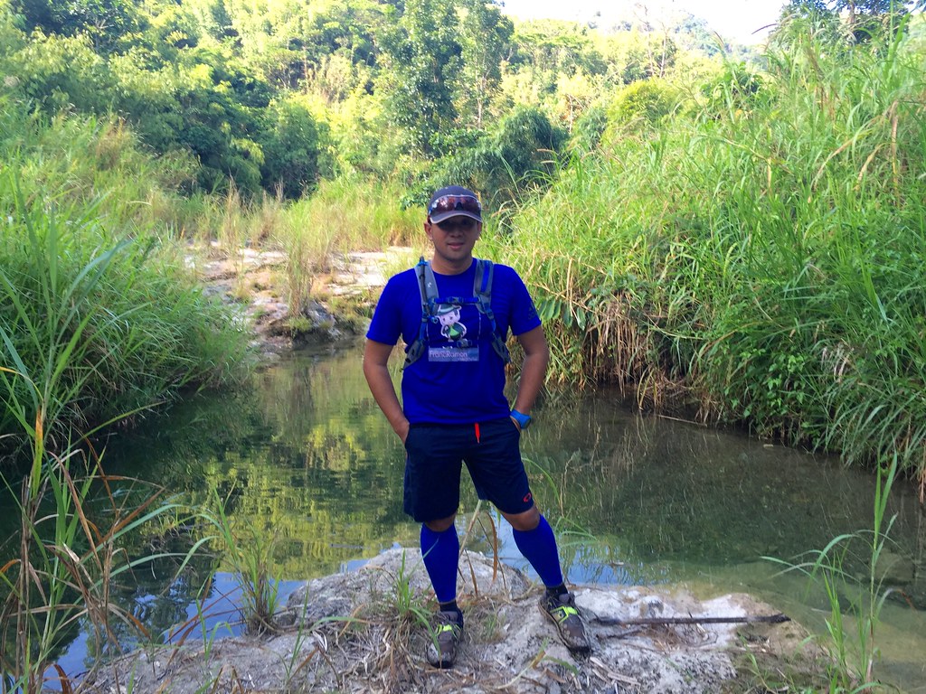
I love river crossings.
Instead of going left we ended up going straight to the river. The river was really clear and fresh. We followed the river only to head back to the plantation nearby. A local named Jason realizing that we’re clueless on what we were looking for volunteered to tour us around the place. Our second Good Samaritan of the day. From the river, he lead us to the road beside the river and there it was the easier route to the falls. Our first stop was a popular swimming area here named Puting Bato.
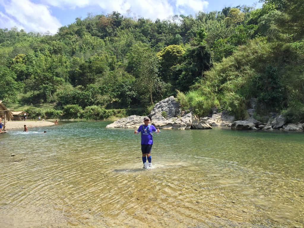
A popular swimming area here – Puting Bato
The route was familiar yet was a bit different. The once grass field surroundings now had plantations around. The route reminded me of the trail run here two years ago. After a while, we’ve finally hit Mysawa Falls. Two years ago when we visited the falls, it was a bit dry because of summer so it was really great that there’s more water now. Jason told us the best time to visit the falls was around February.
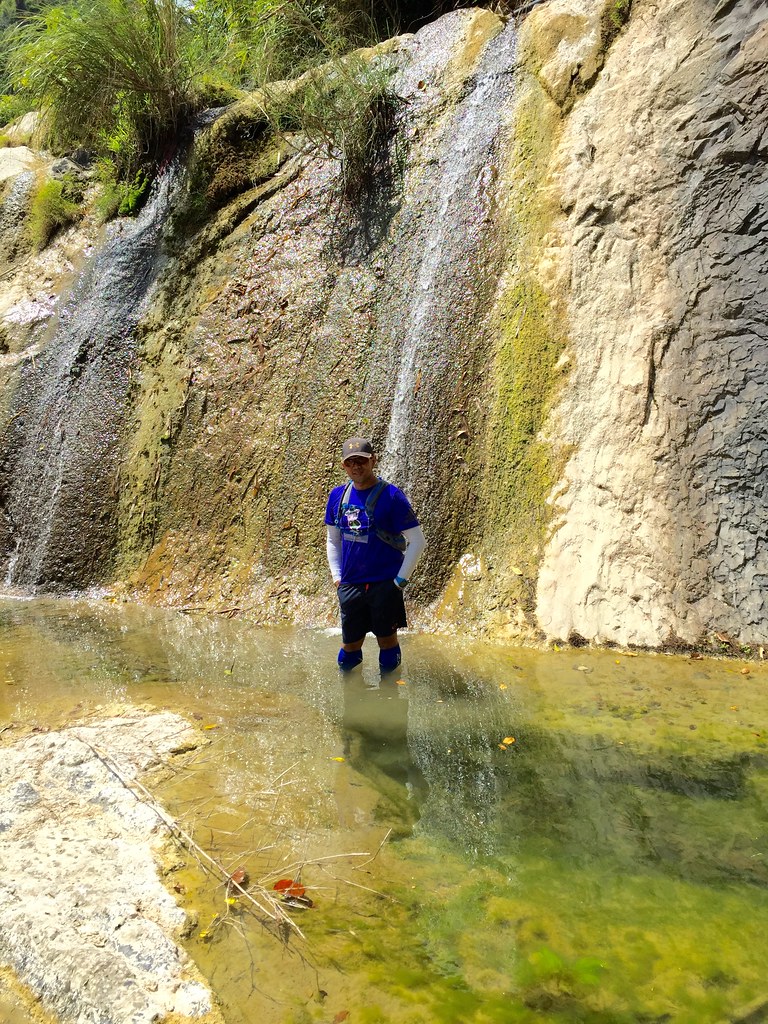
Mysawa Falls.
Mysawa falls had a mystical feel because of the white limestone formations around. It had a basin at the bottom and the deeper part would be around waist to chest deep. I was happy to see it with more water this time as the last time I was here, it was just the white limestone and a few water puddles. Jason then asked us if we wanted to see Kamaingaran Falls. We automatically said yes.

Kamaingaran Falls
Kamaingaran was about 10-15 minutes away from Mysawa Falls. Kamaingaran Falls was mystical, magical and really majestic. It had crystal clear waters which was really cold and is really deep (probably 8-10 feet or more) on some spots. Kamaingaran also has several levels with different areas where you can take a dip.

Another level of Kamaingaran Falls.
The area is a bit cooler and covered. It’s a bit hidden but it was a scenic delight for trail runners, trekkers and those wanting a good cold swim. There were different layers of the falls. The second layer had several basins where you can swim and there was a part that you get to see the water falling from atop the mountain. Who could resist a good dip in the natural pool like this, not me.
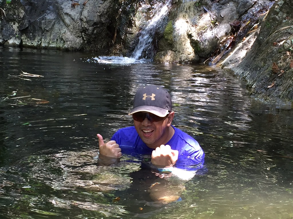
Yes, I couldn’t resist taking a dip at Kamaingaran falls.
The water was fresh, clear and really cold. After about a 13-14 kilometers of being in the trails, this was a refreshing reward. After a short dip, we then headed back to Laiban area where we got a motorcycle heading back to the town proper. From Laiban area, it would still be about 7-8 kilometers with several more river crossings and about 500 meters of elevation before reaching the highway. It was a nerve-wracking ride as we fell twice because of the rocky path. It was nothing major as we were able to cushion our fall well. We then decided to just walk off the remaining part of the trail to the highway.
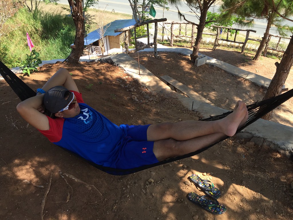
Chillin’ Like a Villain after a gruelling trail run at Pico de Pino
Outfit of The Trail
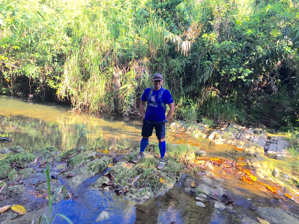
- Top: adidas Climachill with #TaleOfTheTrail design by Breakout Design
- Shorts and Eyewear: Oakley
- Shoes: Brooks Pure Grit 4
- GPS Watch: Suunto Ambit 3 Sports
- Cap and Hydration Bag
- Calf Sleeves: 2xU
- Socks: Ahon Trail Running Socks
32 Responses to #TaleOfTheTrail Sierra Madre Trails (Tanay, Rizal)